-

Boosting diversity in Earth system science
The SOARS program has been boosting diversity in Earth system science for two decades.
-
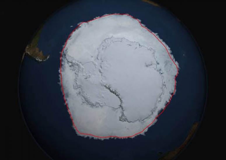
Expanding Antarctic sea ice linked to natural variability
The recent trend of increasing Antarctic sea ice extent — seemingly at odds with climate model projections — can largely be explained by a natural climate fluctuation.
- Climate
-
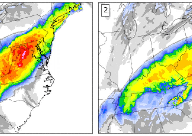
NCAR weather ensemble offers glimpse at forecasting's future
NCAR's ensemble forecasting system has become a favorite among professional weather forecasters and atmospheric researchers.
- Weather
-
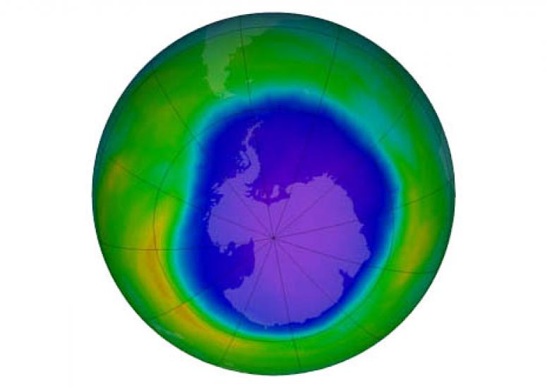
Scientists observe first signs of healing in the Antarctic ozone layer
A team of researchers, including NCAR scientists, has identified the “first fingerprints of healing” of the Antarctic ozone layer.
- Air Quality
-
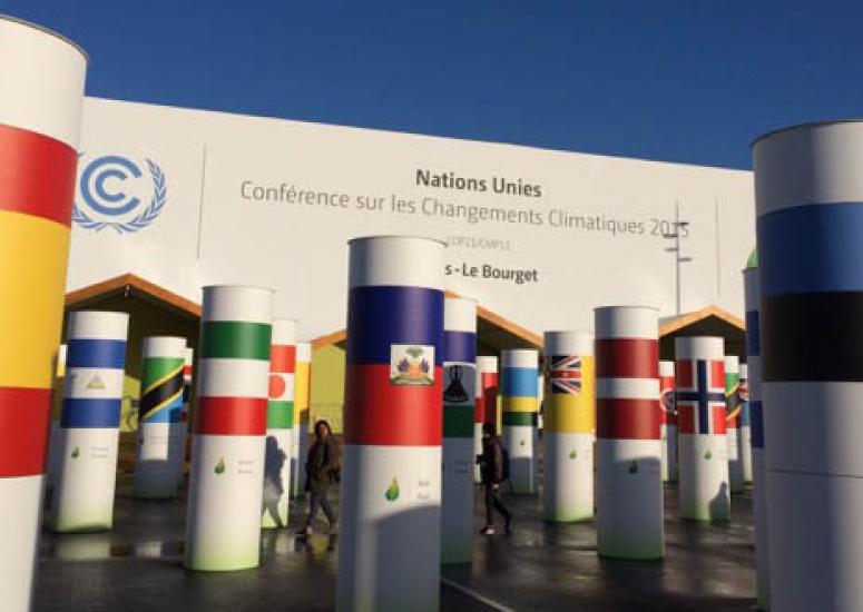
Capping warming at 2 degrees
A new study finds that, even if all the countries follow through on their Paris Agreement commitments, steeper emissions cuts would be necessary after 2030 to stay below 2 degrees of warming.
- Climate