-

Scientists eye hurricanes, rainfall in global high-def
Scientists are experimenting with high-resolution global forecasts to improve predictions of hurricanes and extreme rainfall.
- Weather
-

Understanding the lifecycle of a hailstone
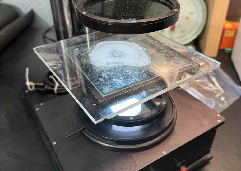
The In-situ Collaborative Experiment for the Collection of Hail In the Plains (ICECHIP) field campaign was the first major U.S. hail field campaign in over 40 years. Over 10,000 hailstones were collected, a selection of which are now being analyzed at the U.S. National Science Foundation National Center for Atmospheric Research (NSF NCAR).
- Weather
-

Steering clear of turbulence
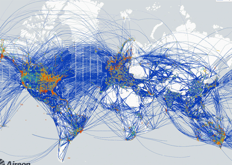
A prototype turbulence detection system is designed to guide aircraft worldwide from areas of rough air.
- Weather
-
Jothiram Vivekanandan named honorary fellow of the Indian Meteorological Society
An expert in polarimetric, dual-wavelength, and phased array radar technologies, Vivekanandan has collaborated extensively with Indian scientists to advance understanding of monsoon precipitation.
- Organization,
- Weather
-

Boulder’s winds aren’t what they used to be
Peak wind gusts in Boulder and across the Front Range have weakened in recent decades, causing less damage.
- Weather
