Tag: Modeling
-
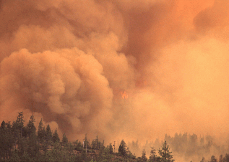
Pacific Northwest wildfires alter air pollution patterns across North America
Increasingly large and intense wildfires in the Pacific Northwest are altering the seasonal pattern of air pollution and causing a spike in unhealthy pollutants in August, new research has found.
- Air Quality
-
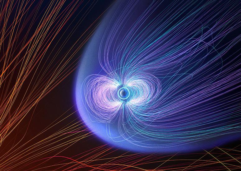
NCAR partners to build first-ever comprehensive community geospace model
NCAR is a leading partner in an effort to, for the first time, build a model that can simulate the entire near-Earth space environment, which stretches from the lower atmosphere out beyond the moon.
- Sun + Space Weather
-
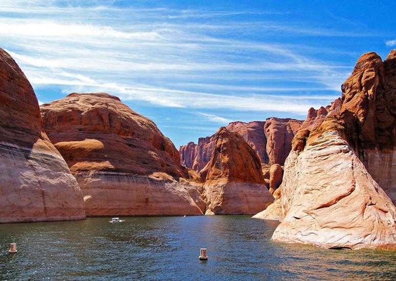
Today’s extreme droughts could become average in the future
Conditions that, by today’s standards, are considered to be mega-droughts — or conversely, abnormally wet “mega-pluvial” events — may become the average in the future, according to new research led by the University of California Santa Barbara (UCSB) and co-authored by scientists at the National Center for Atmospheric Research (NCAR).
- Climate
-
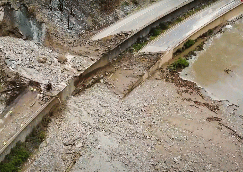
Drenching rains pose greater threat to fire-damaged areas in West
The western US is facing a greatly heightened risk of extreme rain-after-fire events, which can cause mudslides, flash floods, and significant destruction.
- Climate,
- Weather
-
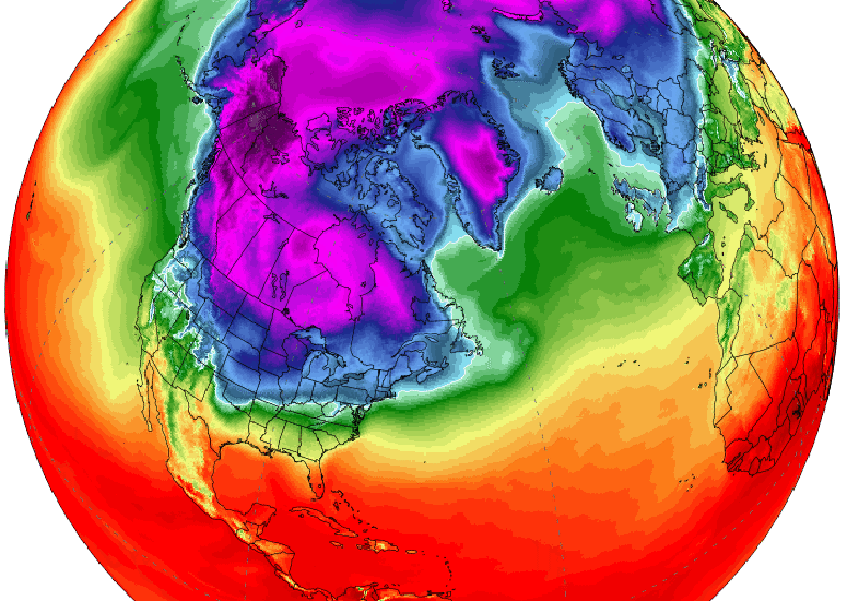
New study questions explanation for last winter’s brutal U.S. cold snap
A new study challenges a commonly accepted explanation that a "sudden stratospheric warming" caused the unusually cold weather over the U.S. early last year, a view which was widely reported in the media and discussed among scientists at the time.
- Weather