-
5G wireless networks threaten weather forecasts, NCAR expert tells Congress
NCAR Associate Director William Mahoney testified in Congress today about the need to protect radio frequencies that are needed for weather forecasts and understanding the climate system.
- Climate,
- Data,
- Weather
-
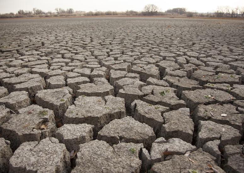
Drought and heat wave experts available to explain research and potential impacts
As areas across North America experience record-setting heat waves and face extended periods of drought, scientists at the National Center for Atmospheric Research (NCAR) are working to better understand and predict these extreme weather and climate events that impact human health and well-being.
- Air Quality,
- Climate,
- Weather
-
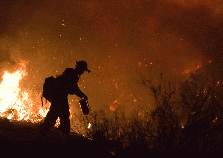
Wildfire experts available to explain fire behavior, potential impacts
Wildfire experts are available to discuss a range of topics, from wildfire prediction to the role of climate change and the impacts of emissions.
- Air Quality,
- Climate,
- Weather
-
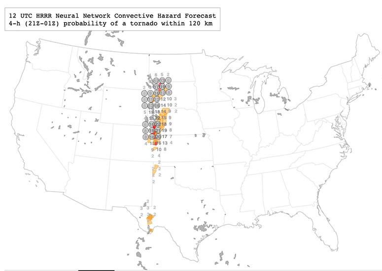
A neural network improves forecasts for severe storm hazards
NCAR is using artificial intelligence to run experimental forecasts for hail, tornadoes, and intense winds — storm hazards that can cause serious damage but that are notoriously difficult for weather models to accurately predict.
- Weather
-

Alaska thunderstorms may triple with climate change
The number of thunderstorms in Alaska may triple by later this century because of climate change, increasing the risks of widespread flash flooding, landslides, and lightning-induced wildfires.
- Climate,
- Weather