-
Wildfire experts provide guidance for new research directions
Fire experts across the nation call for a more strategic and interdisciplinary approach to pursuing wildfire research and protecting vulnerable communities.
- Air Quality,
- Climate,
- Weather
-
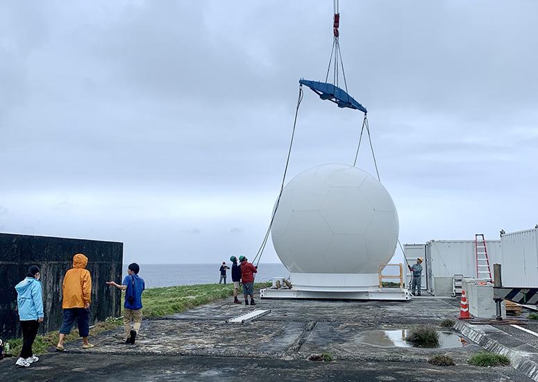
NCAR joins international field campaign to study extreme rainfall in Pacific
A field campaign to study extreme rainfall is underway this summer, bringing together an international team of atmospheric experts in one of the wettest areas of the globe. Based out of western Taiwan and a southern island of Japan, the Prediction of Rainfall Extremes Campaign in the Pacific (PRECIP) research team, including experts from the National Center for Atmospheric Research (NCAR), will be carefully collecting data and observations of the extreme storms and monsoons that are common in this region.
- Weather
-
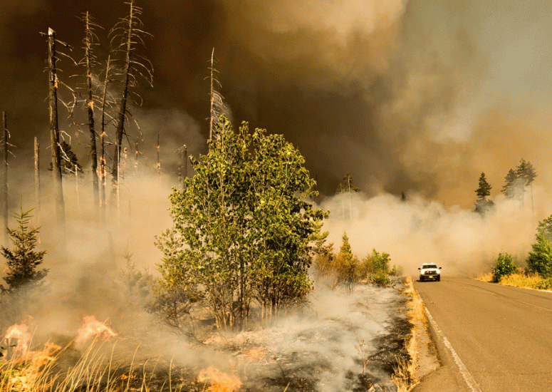
Scientists use AI to update data vegetation maps for improved wildfire forecasts
A new technique developed by NCAR uses artificial intelligence to efficiently update the vegetation maps that are relied on by wildfire computer models to accurately predict fire behavior and spread.
- Weather
-
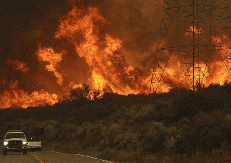
Scientists develop method for seasonal prediction of western wildfires
This summer’s western wildfire season is likely to be more severe than average but not as devastating as last year’s near-record, according to an experimental prediction method developed by NCAR scientists.
- Climate,
- Weather
-
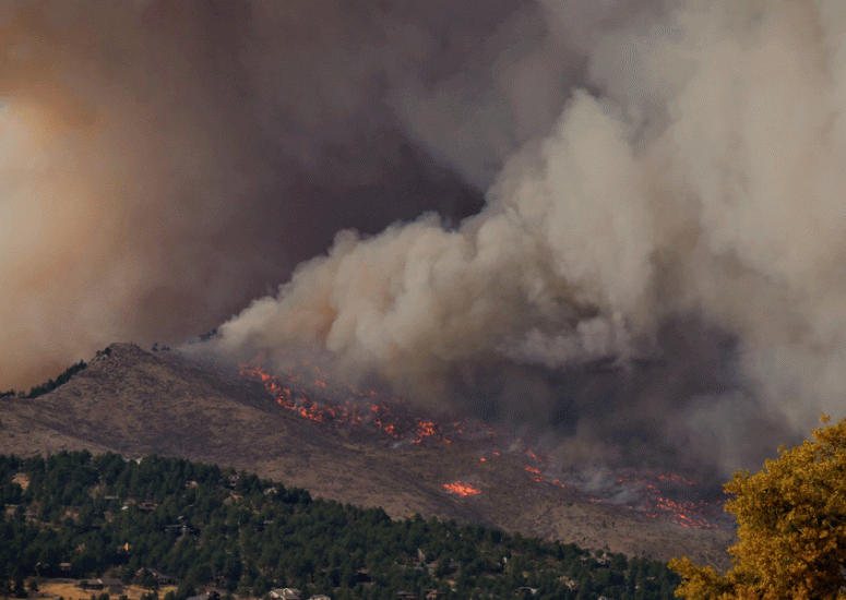
Wildfire experts available to explain fire behavior, potential impacts
As wildfires threaten much of the West during another hot and dry year, NCAR scientists are researching key aspects of these destructive events.
- Air Quality,
- Climate,
- Weather