Instrumentation dream team
NSF NCAR scientists envision a suite of instruments to advance weather research
Dec 9, 2024 - by Audrey Merket
Dec 9, 2024 - by Audrey Merket

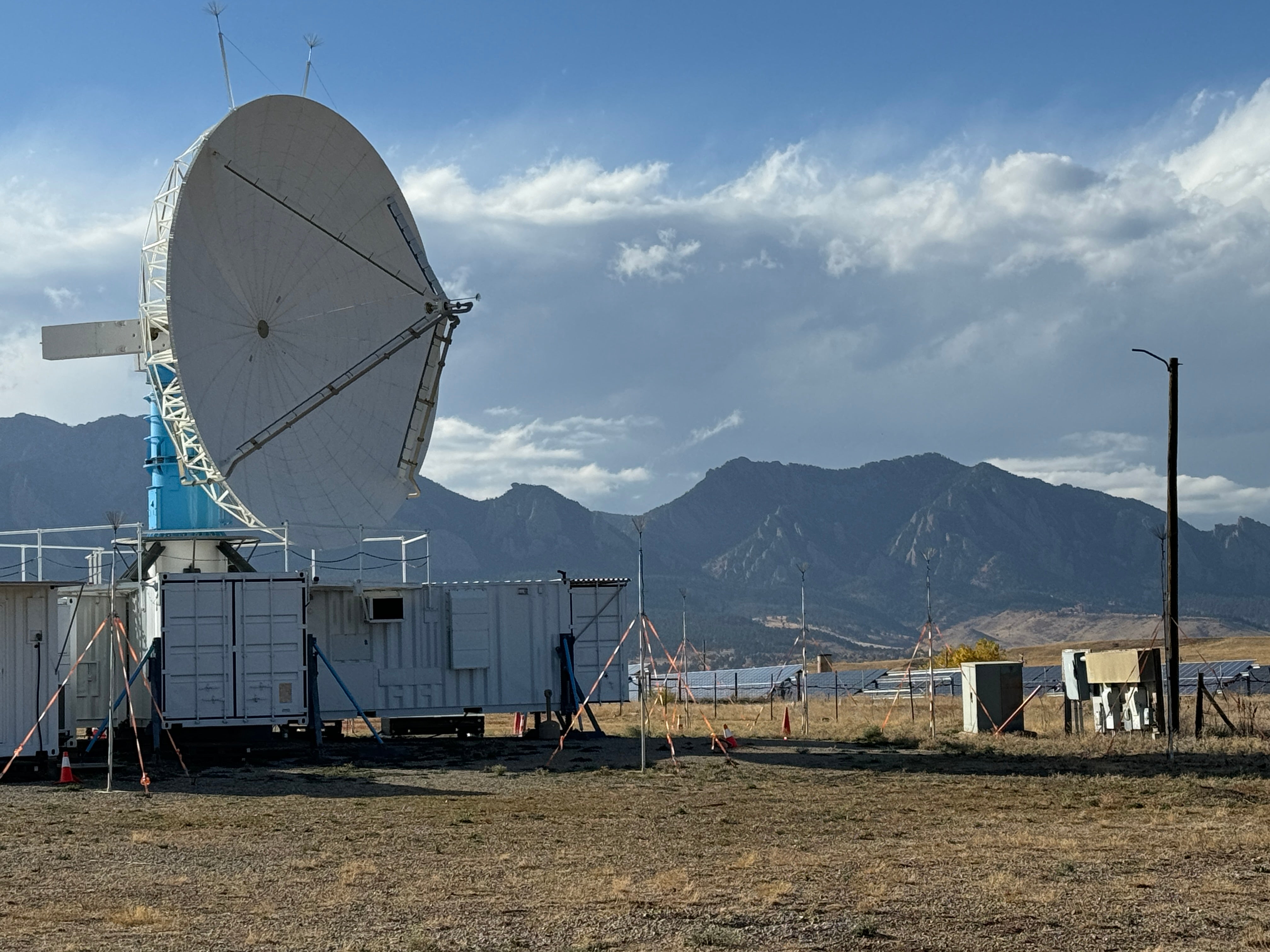
The S-Pol Doppler radar scans the atmosphere and ground sensors collect information on soil moisture and heat at the Marshall Field Site near Boulder, Colorado. (Image: Rosalyn Stilling/UCAR)
| Impact statement: The LOwer Troposphere Observing System (LOTOS), a proposed sensor network, would provide a more unified and coordinated way to use multiple weather instruments at one location and that information could lead to better modeling and forecasting of extreme weather. |
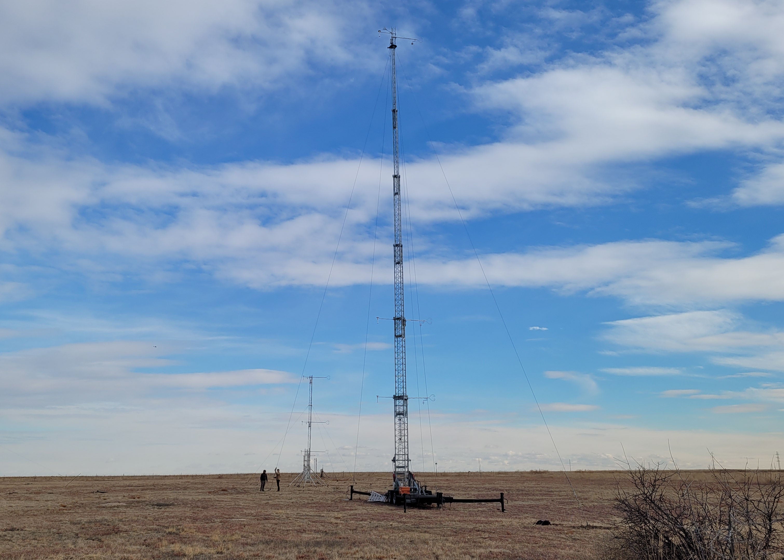
A bald eagle perched on a telephone pole surveys a variety of atmospheric instruments sprawling across the outdoor lab known as the Marshall Field Site located just outside Boulder, Colorado. Metal flux towers reach up into the sky. The guy lines anchoring them to the ground tense against the wind, allowing the tower to stand strong and collect information on wind and greenhouse gases.
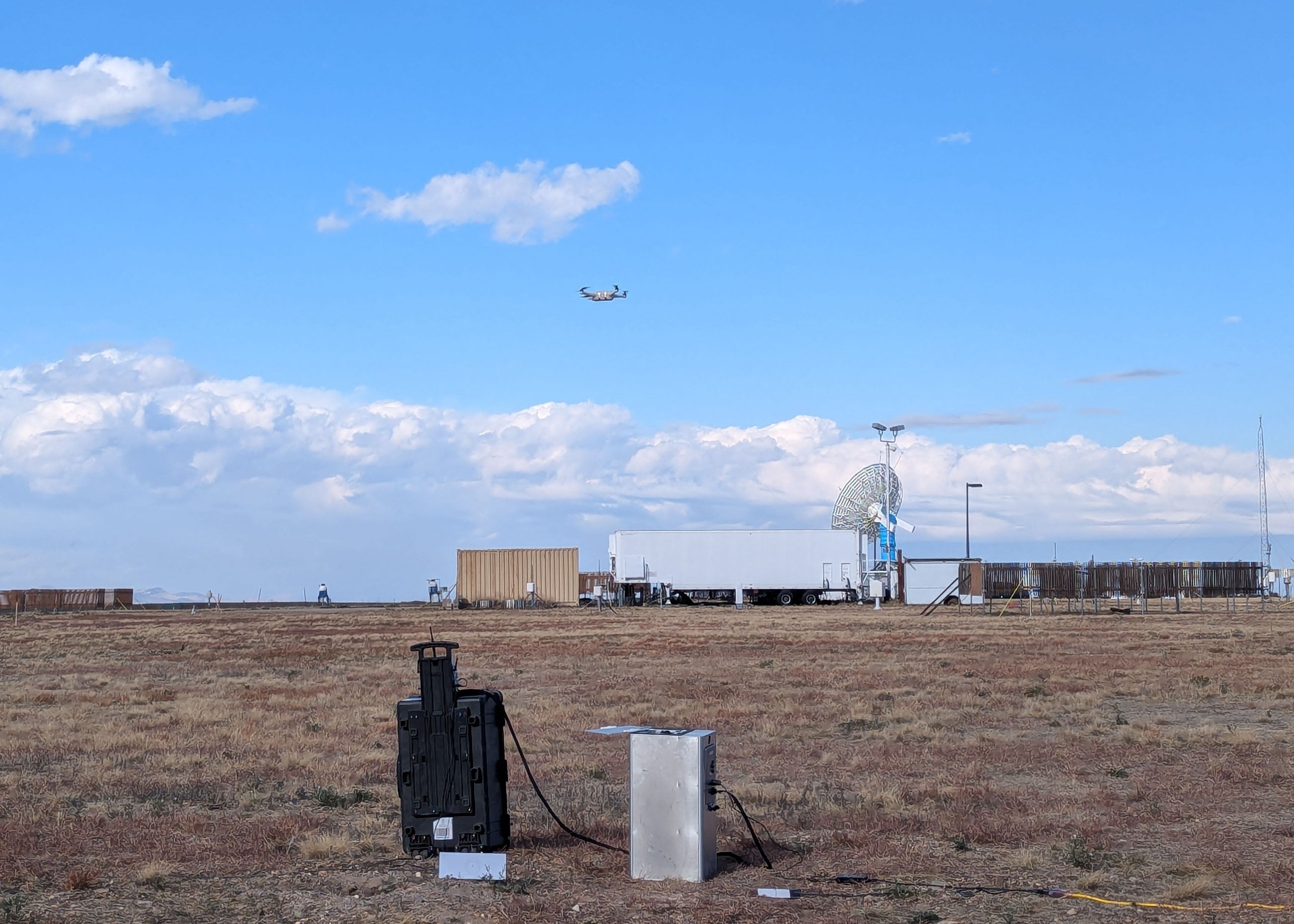
Buried sensors connected to tripods monitor soil moisture and how much heat from the Sun is being absorbed into the ground. In the space between the towers and the ground sensors, various lidar instruments use laser beams to profile wind, water vapor, and temperature. A large Doppler weather radar called S-Pol scans the atmosphere – rotating back and forth, stopping short of a full 360° rotation to provide a slice of airspace for a flock of weather drones to fly uninhibited.
Many of these instruments are part of a prototype demonstration from scientists at the U.S. National Science Foundation National Center for Atmospheric Research (NSF NCAR) for a proposed sensor network called the LOwer Troposphere Observing System (LOTOS). LOTOS – pronounced like the Lotus flower – aims to improve observations of the troposphere, the lowest region of Earth's atmosphere, by simultaneously sampling the atmosphere horizontally and vertically.

“The troposphere is the most important part of the atmosphere because that's where everybody lives,” said Tammy Weckwerth, NSF NCAR scientist. “There's not one instrument or even a few instruments that are capable of giving us all the measurements that are really going to be useful to help us better understand atmospheric processes and make forecasts. The LOTOS network will allow for new studies and discoveries.”
Since no single instrument can collect all the atmospheric measurements scientists need, research teams currently cobble together observations from the conglomeration of instruments they can find to try and reconstruct the current state of the atmosphere. This can include balloon launches from one location and radar observations from another, along with observations from passenger planes overhead and airport weather stations on the ground.
LOTOS would not replace these means of collecting data, but it would provide a more unified and coordinated way to use multiple instruments at one location to give scientists a detailed new tool for understanding the atmosphere.
NSF NCAR scientists envision that LOTOS will consist of up to five sets of instruments, or nodes, that can be spread out across a field site. Each node will be composed of remote sensors that analyze wind, temperature, moisture, clouds, and aerosols from Earth’s surface up to 6 km (3.7 miles) into the atmosphere. To fill in observation gaps between nodes, the data will be integrated by distributing the energy, trace gases, and flux measurements across the field site. The portable, field-deployable system will enable the scientific community to address a wide range of research questions about our weather.
The genius of LOTOS is that the instruments complement each other. Each instrument has its strengths and weaknesses, and by combining the strengths of each one, the data is more useful than individual observations alone.
“Each instrument has different characteristics and you really need one of everything to get a continuous and full picture of what’s going on,” said NSF NCAR scientist Bill Brown. “For example if there’s too much rain or clouds or fog, the lidars can’t see through it, so you need radars.”
Combining the best data from these different instruments into a unified format will be challenging, but the end result will be a huge benefit to the larger research community. The LOTOS team is currently experimenting with different data assimilation techniques in search of the most intelligent way to combine the data.
“It would be huge if NSF NCAR could offer this customizable set of instruments that provide consistency of instrumentation, consistency of data formats, and consistency of data quality for the research community,” said Weckwerth. “It’s a big undertaking and will likely require partnerships with other NSF NCAR labs, universities, government organizations, and private companies to ultimately pull it off, but we are really excited about the potential with LOTOS and the enthusiasm from the research community about this concept.”
One potential use case for LOTOS is improving high-impact weather forecasting for events like thunderstorms, high winds, heavy rainfall, hail, floods, and winter storms. While weather prediction models have advanced dramatically over the last two decades, high-impact weather forecasting has shown relatively slow improvement over the same period. One of the reasons is a lack of detailed observations of the transport of heat and energy in the troposphere as well as an unclear picture of how moisture arranges vertically. Having more information about those processes from different strategically deployed nodes could lead to better modeling and forecasting of extreme weather.
LOTOS can also help researchers better represent variations in the physical world. Weather models work on a grid system, as if a large piece of graph paper were laid out across a region or even the entire Earth. For weather prediction models suited to forecast storms and other high-impact events, the grid spacing is typically 1-4 kilometers, while the grid spacing for global forecast models is typically even larger at 10-20 kilometers. LOTOS can be used to determine ranges in atmospheric observations at different scales that are needed to improve weather forecast models.
Even with high resolution models with 1-kilometer (roughly half a mile) grid spacing, models use only one set of surface observations to represent an entire box, which can affect the accuracy of their output. Because models create a homogenous area based on one data point, a model may think that a snow-covered area reflects less sunlight, when in fact the observation was taken at an accessible valley location where the snow had melted. Or, it may think that the area was covered by lush plants, when the data point was taken near the only clump of bushes. Assuming everything is identical can complicate seemingly simple weather modeling simulations as it doesn’t account for how conditions like soil moisture or energy absorption will differ across an area.
“Modelers sometimes think observations defining a model grid point are perfect, but they may really only be perfect for a very specific area,” said NSF NCAR scientist Sebastian Hoch. “Detailed real-world observations from LOTOS will help modelers assess the role diverse terrain plays and help them select representative surface conditions to improve weather modeling and ultimately produce more accurate forecasts.”
