
-
25 years of improving predictions
NSF NCAR's Data Assimilation Research Testbed now supports more than 50 models that simulate everything from high-resolution, local weather to the global state of the ocean.
- Data
-
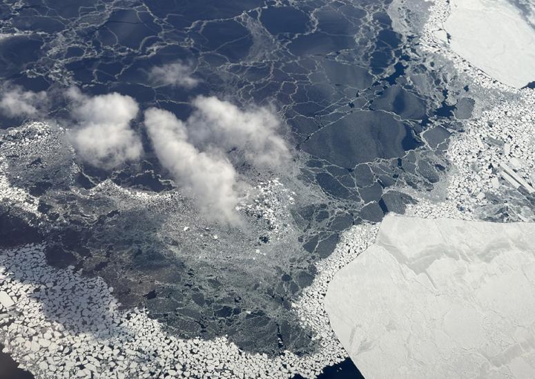
Atmospheric instrument hitches ride on Antarctic planes
This November through February, a specialized laser instrument that measures atmospheric gases is hitching a ride on regularly scheduled flights to and from McMurdo Station in Antarctica. The instrument will collect information about how much carbon dioxide is going in and out of the Southern Ocean for a project called the Southern Ocean Carbon Gas Observatory (SCARGO).
- Data
-
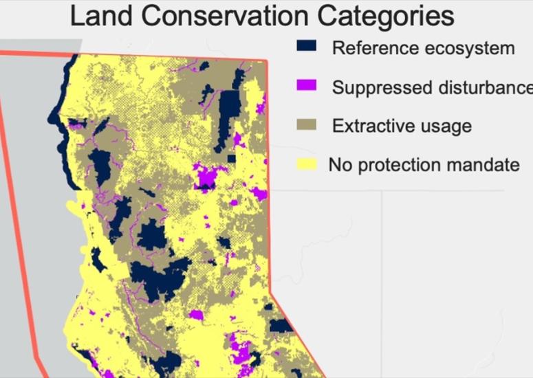
Satellite observations provide insight into post-wildfire forest recovery
Using satellite observations to evaluate forest recovery following a wildfire could be an innovative, cost-efficient way to assess the effectiveness of land management practices, according to research published earlier this year.
- Data
-
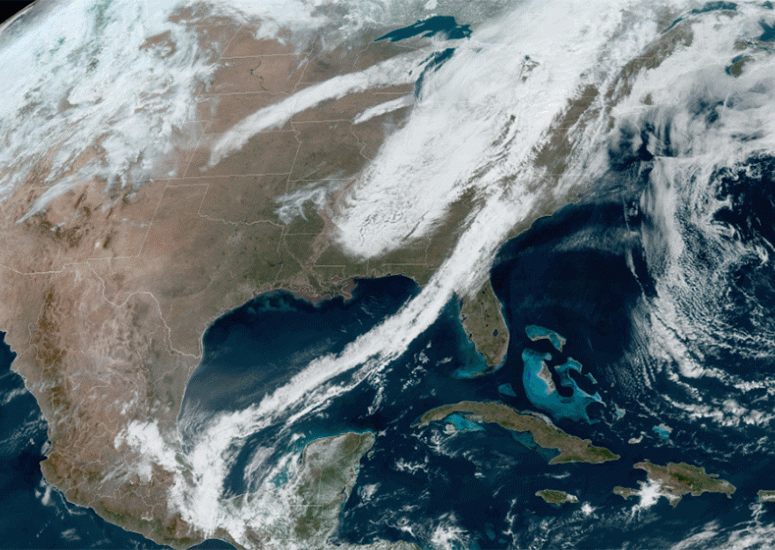
The Weather Company adopts JEDI system to improve everyday forecasts
The Weather Company has become the first operational user of JEDI, a groundbreaking software tool developed at the Joint Center for Satellite Data Assimilation.
- Data,
- Weather
-
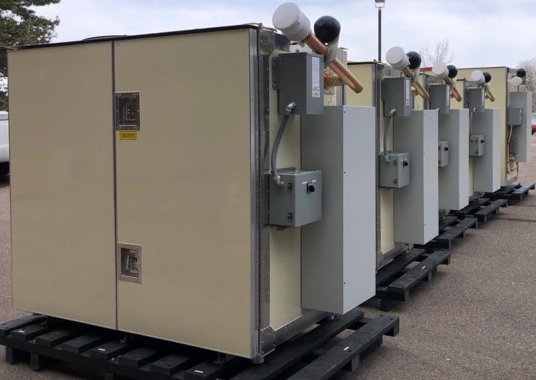
Transforming severe weather forecasting
An innovative weather instrument developed at the U.S. National Science Foundation National Center for Atmospheric Research (NSF NCAR) could be a solution for improving severe weather prediction.
- Data