-
Top stories of 2016
We've assembled some of our favorite stories from across NCAR and UCAR over the last 12 months.
-
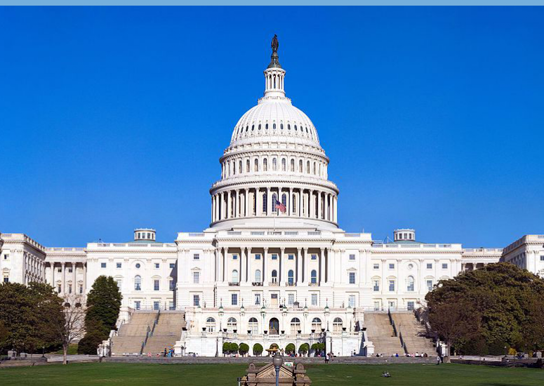
Congress unanimously passes law for research and innovation
The American Innovation and Competitiveness Act provides a major boost to the nation's economy and national security.
-

NCAR & UCAR Scientists Highlight Advances in Weather, Water & Climate Research at AGU 2016
Scientists with the National Center for Atmospheric Research (NCAR) and the University Corporation for Atmospheric Research (UCAR) will make dozens of presentations at the fall meeting of the American Geophysical Union (AGU) during the week of December 12–16.
-

Two NCAR scientists honored by American Geophysical Union
NCAR hydrologist Martyn Clark named AGU fellow; his research includes developing new modeling methods for streamflow forecasts.
- Climate,
- Weather
-
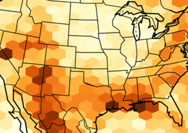
Extreme downpours could increase fivefold across parts of the U.S.
At century's end, the number of summertime storms that produce extreme downpours could increase by more than 400 percent across parts of the United States.
- Climate,
- Weather