
Tag: Wildfire
-
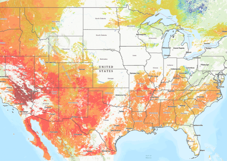
Mapping wildfire risk across the US, day by day
Scientists have produced real-time maps of the moisture content of vegetation across the nation, which can help to identify wildfire risk.
- Data
-
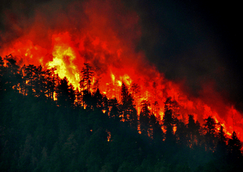
Why only a few wildfires become extreme
Wildfires need brief-lived windows of opportunity to spread widely.
- Weather
-
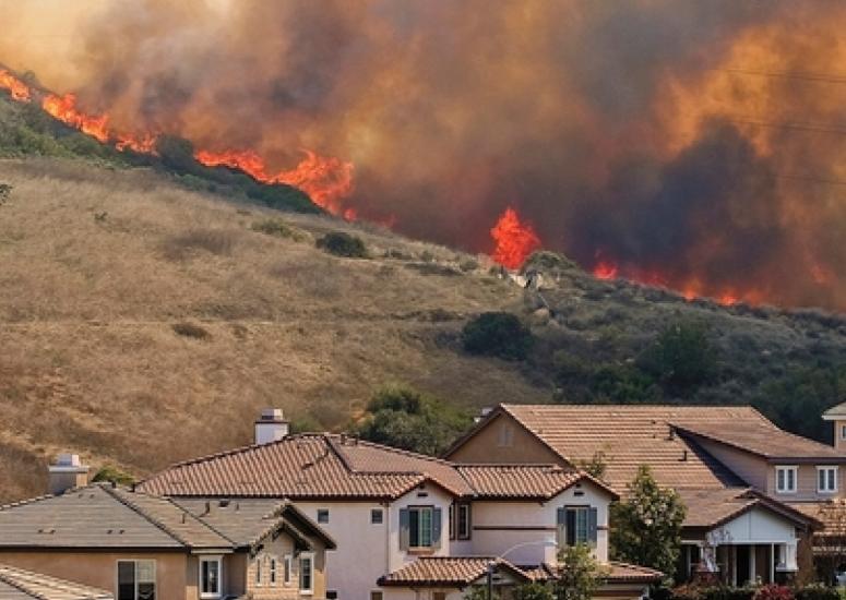
Wildfires that burn buildings create significantly more air pollution
WUI fires are becoming increasingly more common in the U.S. and have destroyed more than 100,000 homes since 2005. Because these events are intensely concentrated both in time and space, they can produce exceptionally high local pollution, which has important implications for the air quality and public health of nearby urban areas.
- Air Quality
-
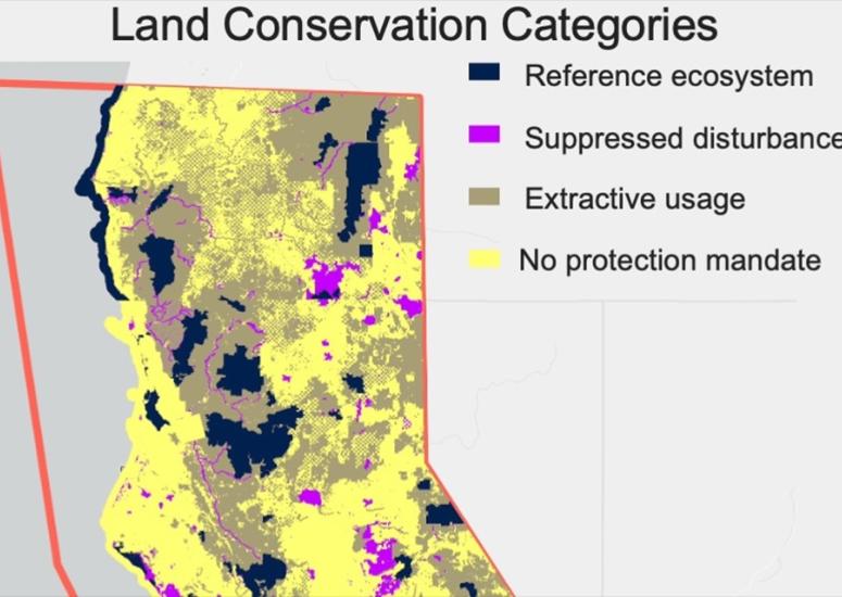
Satellite observations provide insight into post-wildfire forest recovery
Using satellite observations to evaluate forest recovery following a wildfire could be an innovative, cost-efficient way to assess the effectiveness of land management practices, according to research published earlier this year.
- Data
-
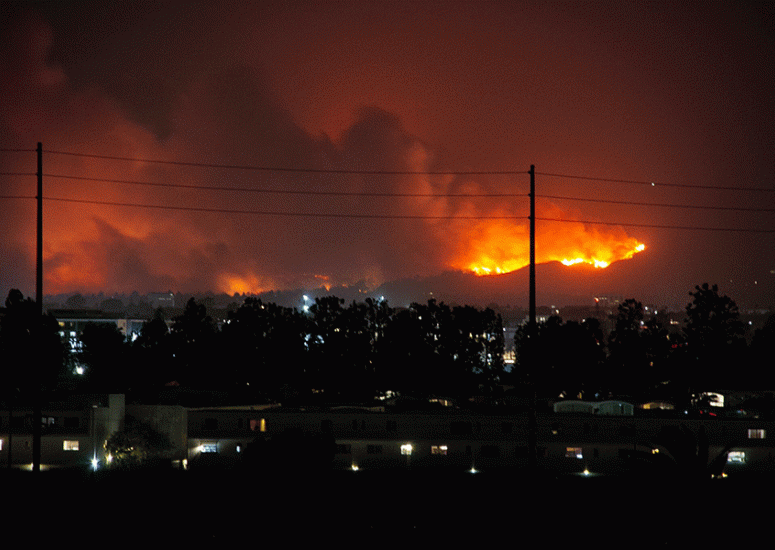
Smoke from wildland-urban interface fires more deadly than remote wildfires
Research quantifies the health risks of wildland-urban interface fires, showing fire emissions in populated areas are three times more likely to lead to annual premature deaths than emissions from wildfires in general.
- Air Quality