-
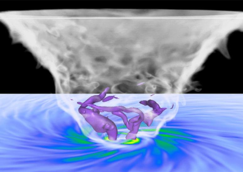
A 3D window into a tornado
Scientists use advanced software to visualize details of the powerful storms.
- Weather
-
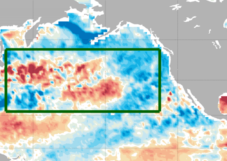
Ocean temps predict U.S. heat waves 50 days out, study finds
The formation of a distinct pattern of sea surface temperatures in the middle of the North Pacific Ocean can predict an increased chance of summertime heat waves in the eastern half of the United States up to 50 days in advance.
- Weather
-
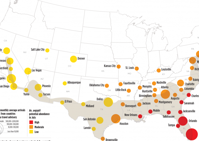
Potential Zika virus risk estimated for 50 U.S. cities
A multidisciplinary team of scientists studies the possible timing and location of Zika virus risk in the United States.
- Weather
-
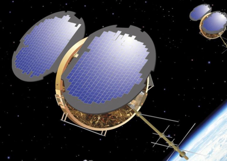
COSMIC turns 10: Microsatellites reveal atmospheric properties in 3D
A constellation of six small satellites has made outsized contributions to our ability to forecast severe weather events, track climate change, and understand space weather.
- Weather
-
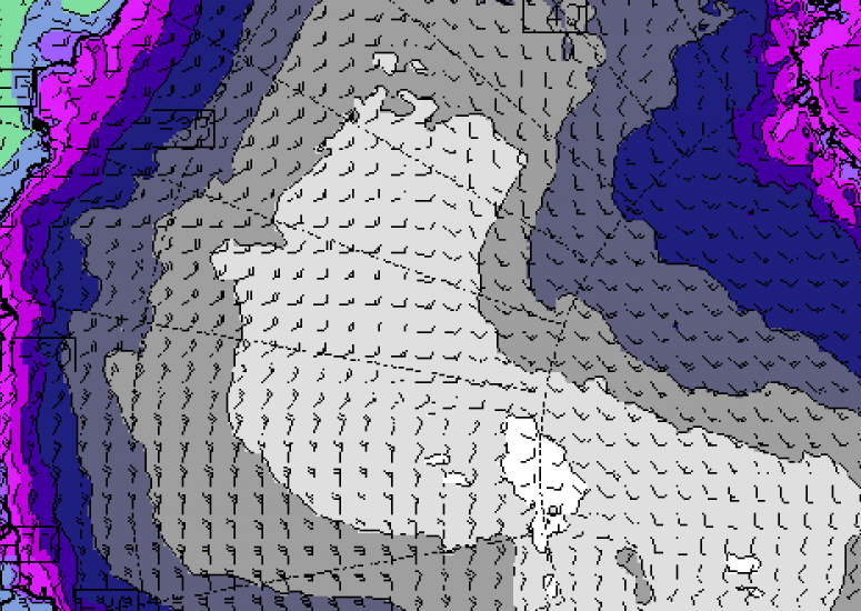
NCAR weather modeling system aids Antarctic rescue effort
The Antarctic-tuned system was used to get a specialized forecast for the LC-130 ski plane sent to rescue more than 30 people stranded at an Australian research station.
- Weather