-
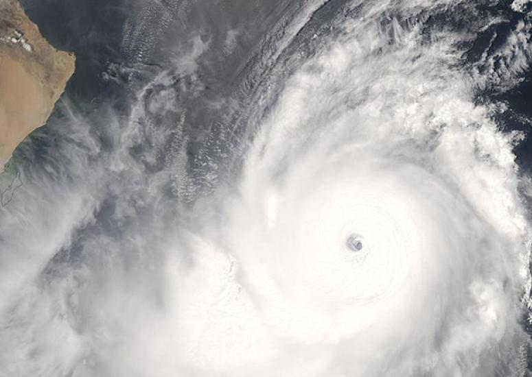
Using GPS to improve tropical cyclone forecasts
A case study indicates that the COSMIC microsatellite system can significantly improve predictions of tropical cyclones by using GPS radio occultation to observe remote regions of the atmosphere.
- Weather
-

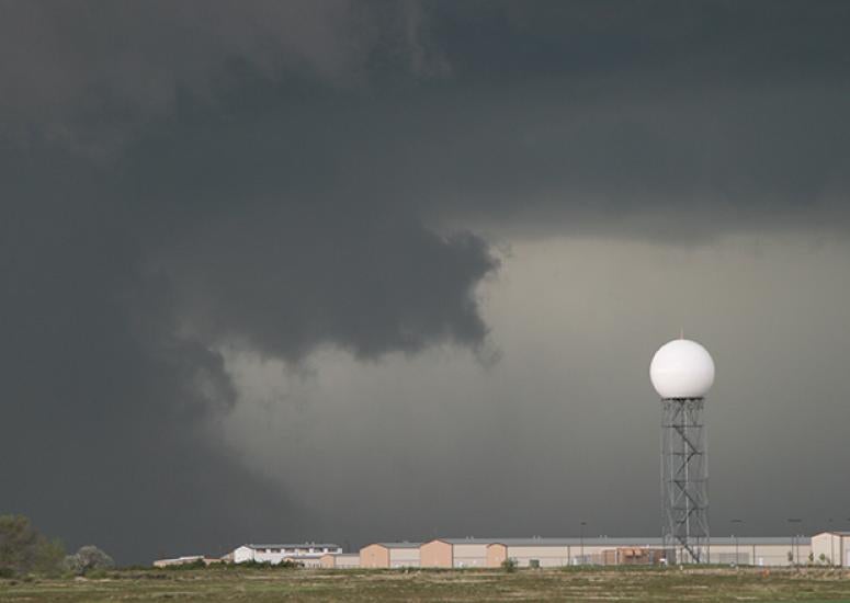
Nature's roadblock to hurricane prediction
Scientists have found that internal variability can make one season twice as active as another, even when large-scale hurricane-shaping elements are unchanged. The research suggests that seasonal hurricane forecasts could be improved by conveying the amount of unavoidable uncertainty in the outlook.
- Weather
-
A global look at forecasting's future
More than 1,000 forecasters, researchers, and other professionals from around the globe will convene in Montréal on August 16–21 for a first-of-a-kind meeting aimed at pooling international thought on where weather prediction is headed. NCAR and UCAR participants are on tap to cover a wide range of promising developments.
- Weather
-
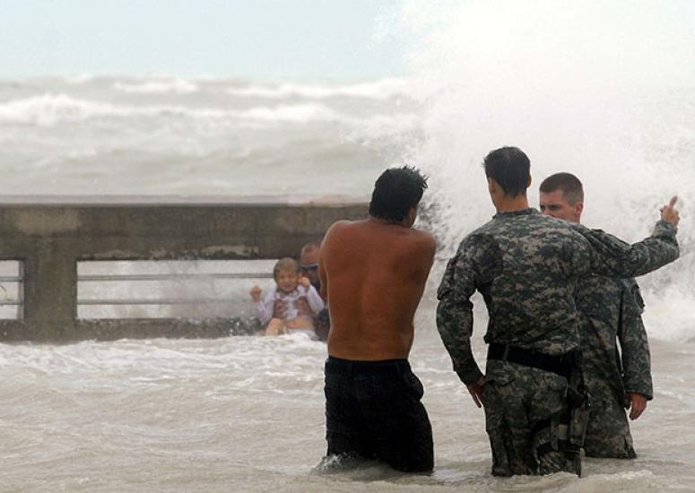
A hurricane by any name
The perceived gender of a hurricane’s name is just one of many factors potentially shaping how someone reacts to a given storm, according to several scientists at NCAR who take a multifaceted approach to studying hurricane response.
- Weather
-
In search of 60-mile-high waves
A field project this June and July will study gravity waves, towering atmospheric features little-known to the public. Novel instruments to be deployed for the international DEEPWAVE project, based in New Zealand, will provide an unprecedented view of gravity waves, a major shaper of atmospheric variability at multiple heights.
- Climate,
- Weather