-
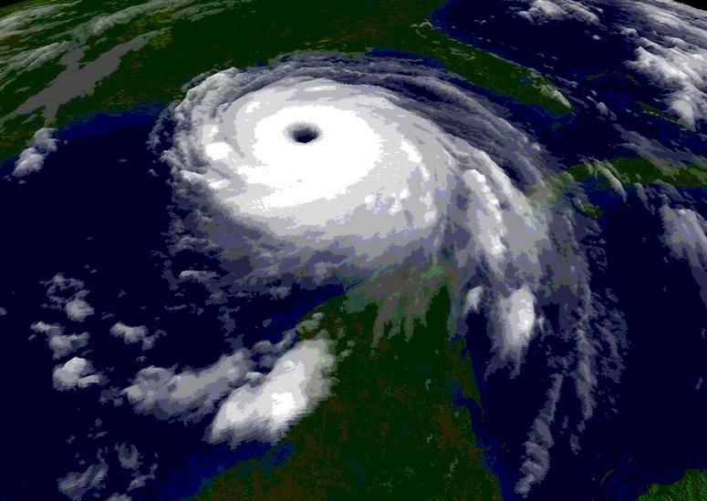
Getting the drop on storms
A small, sophisticated instrument package developed at NCAR and dropped from aircraft has led to notable improvements in hurricane prediction. Now these devices are poised to deliver more data than ever, thanks to a new design and a remotely piloted NASA aircraft.
- Weather
-
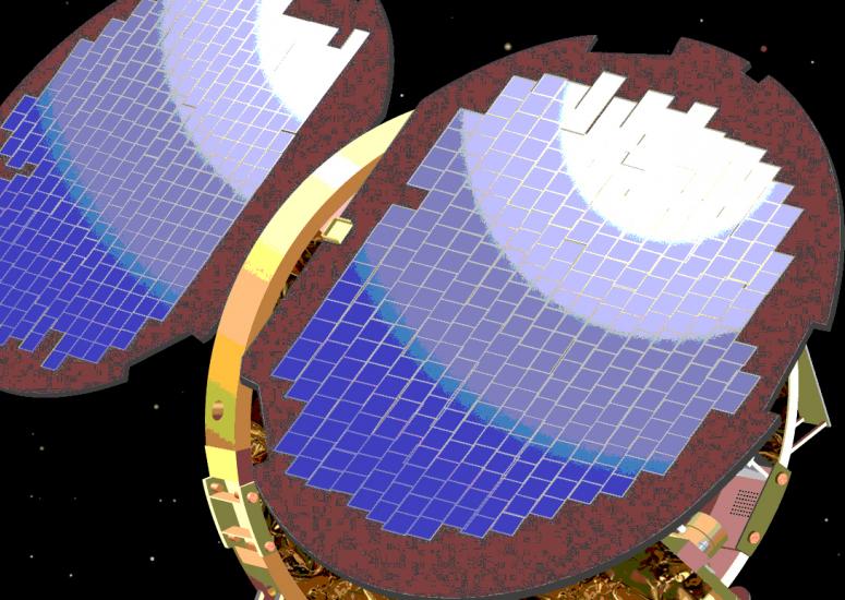
Better forecasts through GPS
A multisatellite observing system that was only a gleam in researchers’ eyes in the 1990s is now a key tool for monitoring Earth’s atmosphere. An ambitious follow-up project could yield up to ten times the data gathered by the current satellites.
- Climate,
- Weather
-
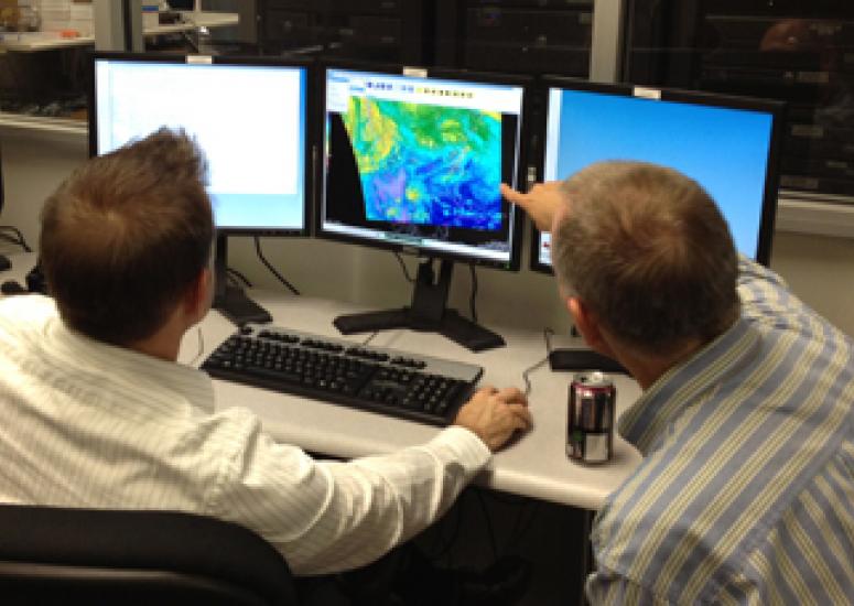
Students get a forecaster's view
University students and faculty soon will have the chance to peer at day-to-day weather through the same lens used by National Weather Service meteorologists. A new version of the NWS’s workhorse graphics software will reach campuses through UCAR’s Unidata program.
- Education + Outreach,
- Sun + Space Weather,
- Weather
-
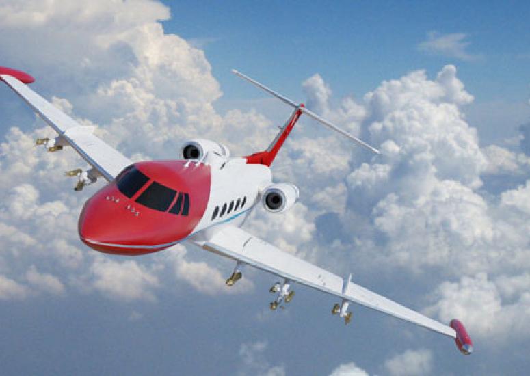
When engine meets ice
Thanks to deicing treatment and careful route selection, commercial pilots now avoid most of the threat that ice will encase critical parts of a plane. But another, more mysterious kind of in-flight icing hazard is now gaining attention.
- Weather
-
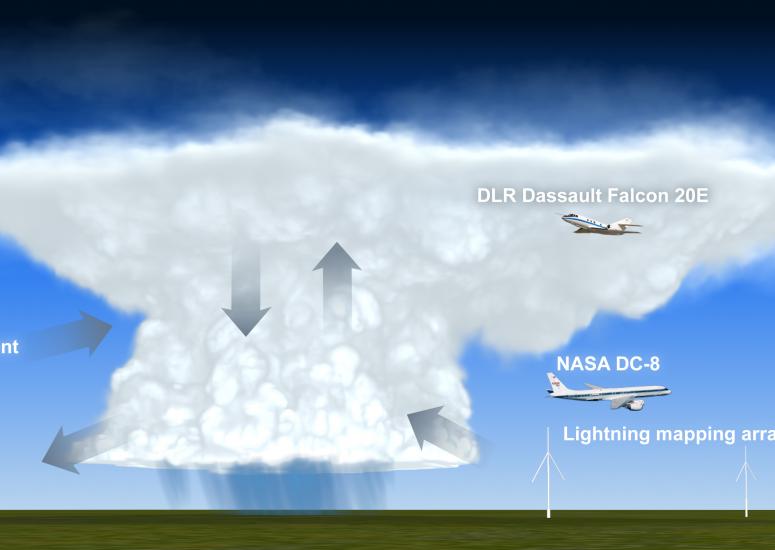
Scientists across U.S. launch study of thunderstorm impacts on upper atmosphere
Scientists are targeting thunderstorms across the U.S. to discover what happens when clouds suck up air from Earth’s surface many miles into the atmosphere.
- Weather