-

Three new members join UCAR Board of Trustees
UCAR's member universities elected six trustees during the annual members meeting in Boulder.
-
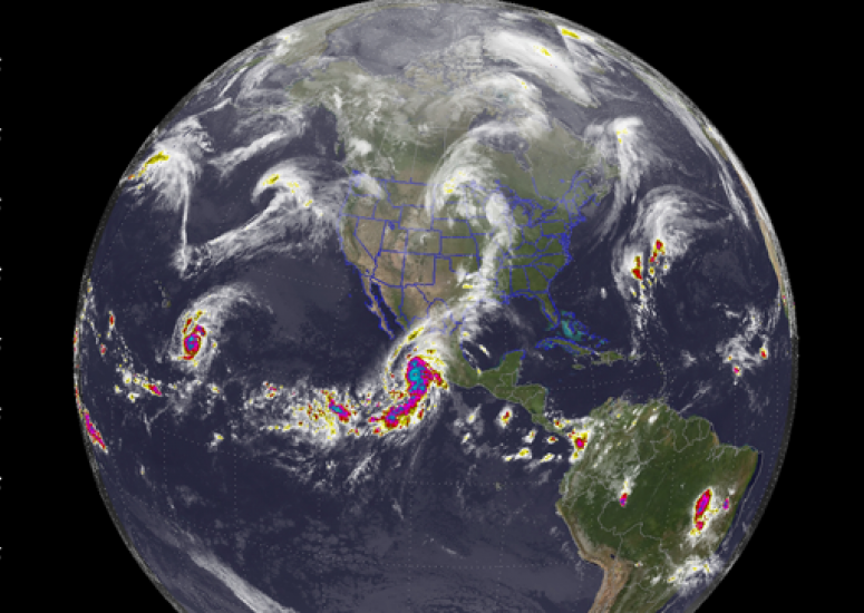
Patricia: A global view
New visualization shows Hurricane Patricia and its connections to other atmospheric events.
- Weather
-
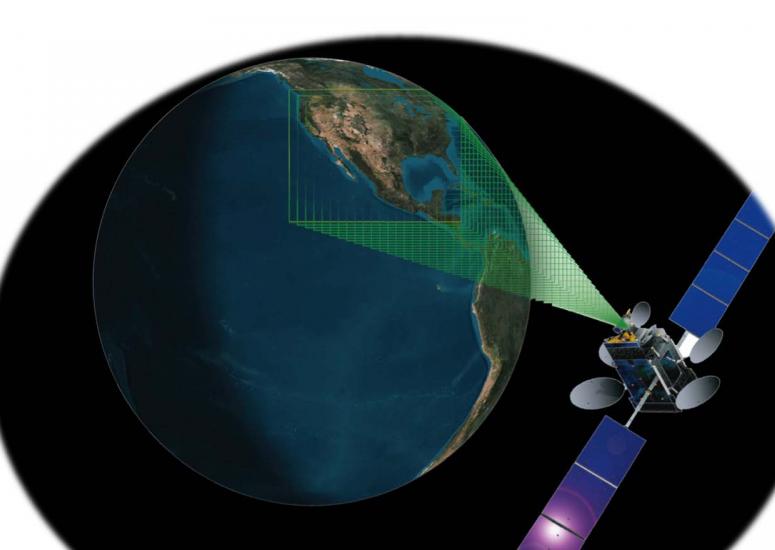
Tracking air quality from high in the sky
Scientists develop low-cost method of monitoring carbon monoxide from high-orbit satellites.
- Air Quality
-
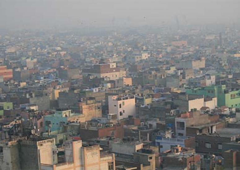
What's driving soot across India?
Research finds that the Indian monsoon transports black carbon pollutants across the country, with levels spiking in densely populated areas.
- Air Quality,
- Weather
-
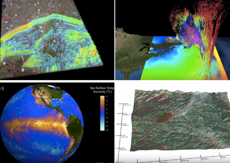
Earth Science Week 2015: NCAR visualizes Earth, air, fire & water
Software engineers and scientists collaborate to visualize research.
- Climate,
- Data,
- Weather