-
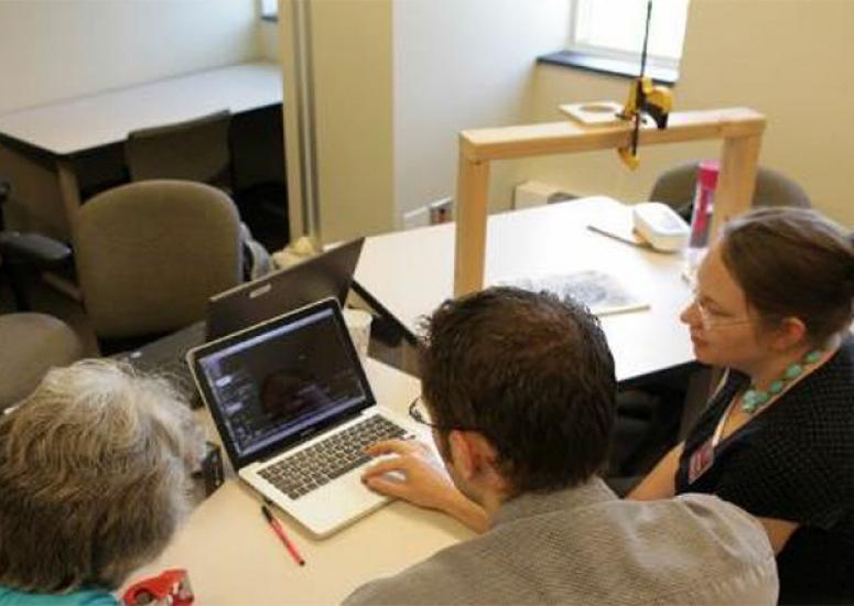
Flipping the classroom paradigm
The urge to transform higher education through online technology is making its way into atmospheric science. Benefits as well as pitfalls came to light as faculty on the front lines of experimentation shared notes in a UCAR-hosted forum last month.
- Education + Outreach
-
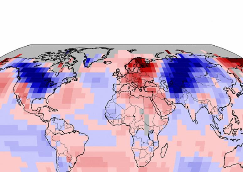
Burning questions about winter cold
There's major disagreement among scientists on exactly what might be causing a tendency toward colder winters over the last few years in places like the central and eastern United States, Europe, and Russia.
- Climate
-
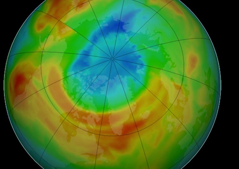
Chlorine makes a comeback
A circulation change has boosted concentrations of hydrogen chloride (HCl), the main reservoir of chlorine in the stratosphere, by several percent over much of the Northern Hemisphere since 2007.
- Air Quality
-
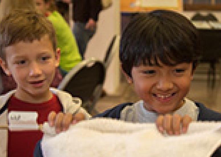
Super Science Saturday - November 8
The popular day of science and family fun at NCAR's Mesa Lab focuses this year on how we measure the weather.
-
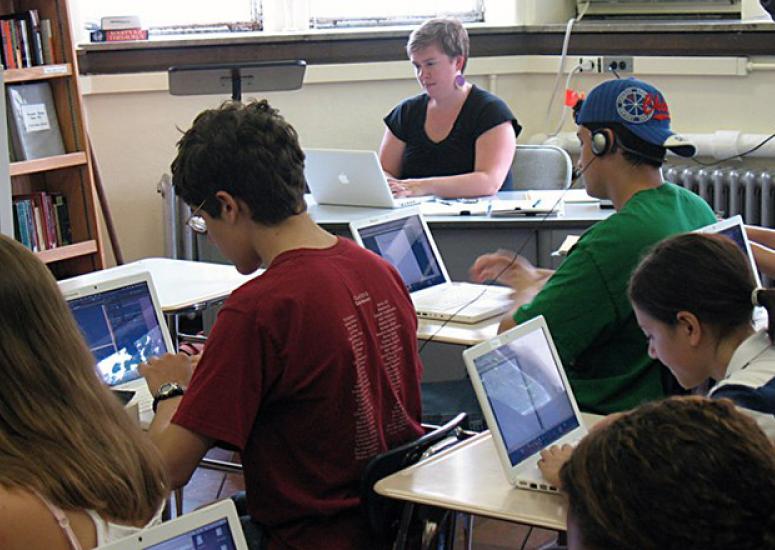
Public-private partnership enhances digital tools for customized science education
A software platform enabling on-demand creation of customizable curricula using curated open education resources will get a development boost from a new agreement between EdTrex, the University of Colorado, and UCAR.
- Education + Outreach