-

Wyoming enhances Internet connectivity with help from UCAR-managed network
Students and researchers will have access to advanced collaborative resources through the Internet2 consortium, thanks in part to networking support by UCAR.
- Education + Outreach
-

Where's the atmosphere's self-cleaning power?
In a surprising finding, a research team concludes that the dominant "detergent" in the atmosphere is equally abundant in the northern and southern hemispheres.
- Air Quality
-

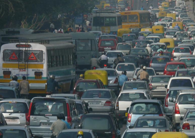
Ground-level ozone's toll in India
Ozone pollution in India is damaging millions of tons of the country’s major crops, according to a new study by an international team of researchers. The pollution caused losses of more than $1 billion in a single year, destroying enough food to feed an estimated 94 million people.
- Air Quality
-

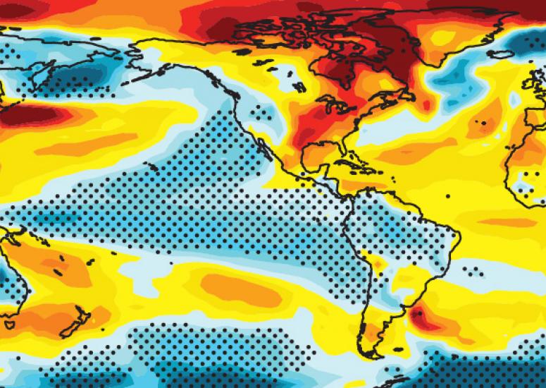
Progress on decadal climate prediction
If today’s tools for multiyear climate forecasting had been available in the 1990s, they would have revealed that a slowdown in global warming was likely on the way, according to new research.
- Climate
-

Making research data more traceable
With support from NSF's EarthCube initiative, UCAR is launching a project with two partners—Cornell University and UNAVCO—that aims to connect the dots among field experiments, research teams, datasets, research instruments, and published findings.
- Data
