-
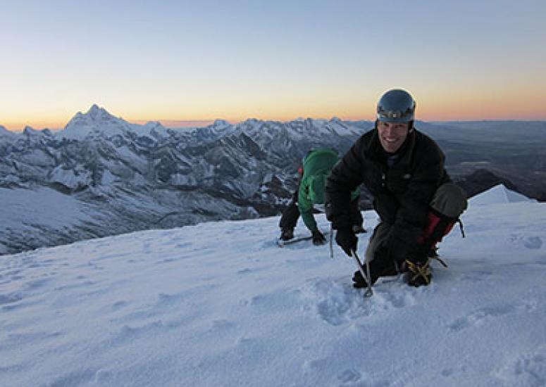
Measuring pollutants on Andean glaciers
A team of researchers, including NCAR scientist Carl Schmitt, are climbing high in the Peruvian Andes to assess the extent to which the white ice is being darkened by ash and other particulates that are emitted by nearby industrial operations. The dark particles can accelerate glacial melting, eventually threatening runoff that supplies water for millions of South American residents.
- Climate,
- Air Quality
-
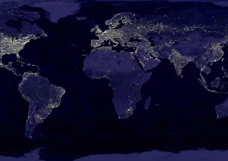
Cities change temperatures for thousands of miles
The "waste heat" generated by everyday activities in metropolitan areas alters atmospheric circulation patterns, warming or cooling temperatures across a large region.
- Climate
-
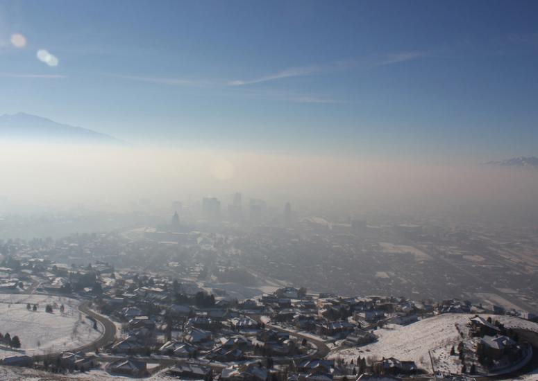
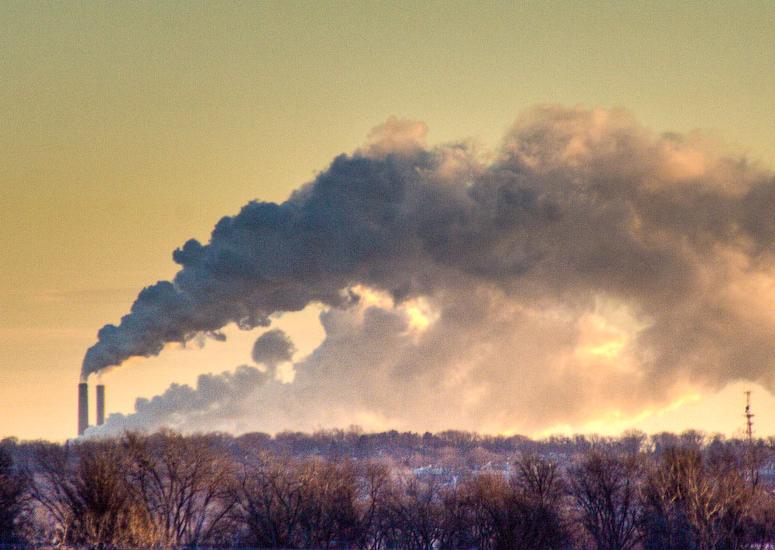
When a good air mass goes bad
Much of the United States has felt winter’s bite this week, with fresh but frigid cold to the east and a weeks-long spell of stagnant, polluted chill to the west.
- Air Quality,
- Weather
-
Words about warming that matter
Two leading climate-change researchers cast new light on one of the most prominent findings of the last major IPCC report, issued in 2007.
- Climate