-
NCAR-based climate model joins seasonal forecasting effort
An NCAR-based computer model known for global climate projections decades into the future recently joined a suite of other world-class models being used to forecast what may lie just a few months ahead.
- Weather
-

Two NCAR scientists honored by American Geophysical Union
NCAR hydrologist Martyn Clark named AGU fellow; his research includes developing new modeling methods for streamflow forecasts.
- Climate,
- Weather
-
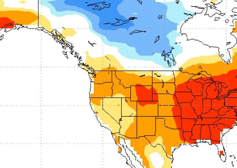
Extreme downpours could increase fivefold across parts of the U.S.
At century's end, the number of summertime storms that produce extreme downpours could increase by more than 400 percent across parts of the United States.
- Climate,
- Weather
-
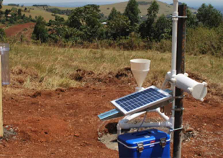
A favorable forecast for Kenyan students
Scientists are partnering with Kenyan schools to bring critically needed weather observations to the country.
- Education + Outreach,
- Weather
-
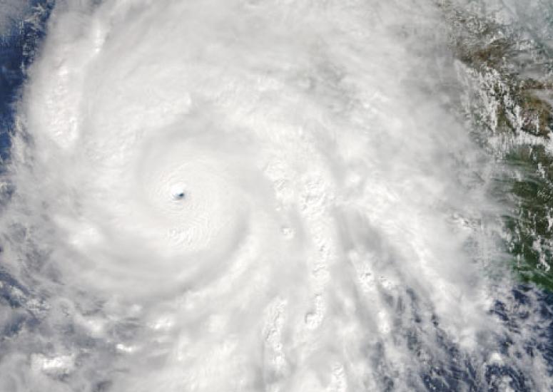
High-res model captures explosive increase in hurricane strength
An advanced version of the Weather Research and Forecasting model (WRF-ARW) accurately forecast Hurricane Patricia's rapid intensification when run at a high enough resolution.
- Weather