
-
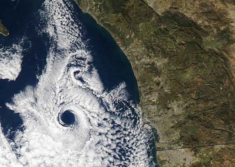
The eyes of winter
Satellite images have revealed at least three dramatic eye-like features not far off the U.S. Atlantic and Pacific coasts over the last several weeks. While these can look startlingly like the eyes of hurricanes, they’re not quite the same thing.
- Weather
-
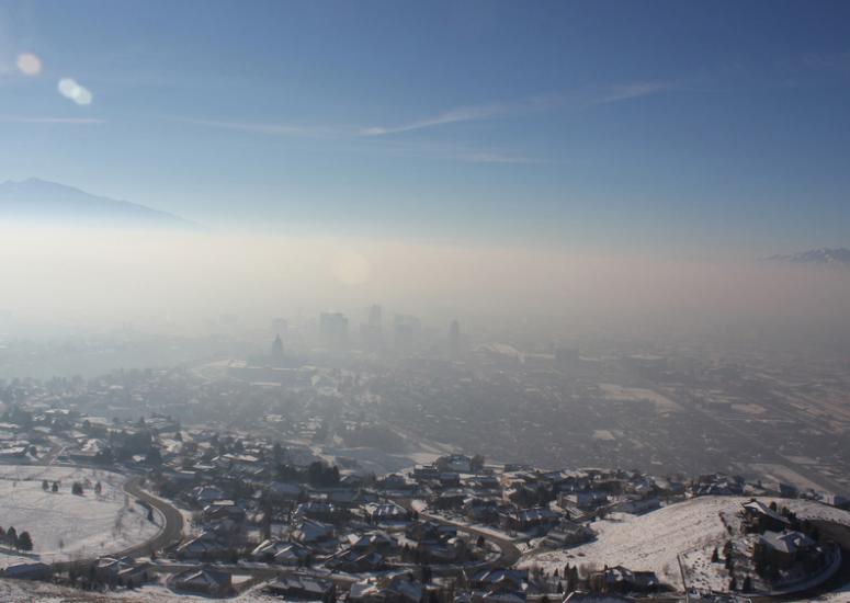
When a good air mass goes bad
Much of the United States has felt winter’s bite this week, with fresh but frigid cold to the east and a weeks-long spell of stagnant, polluted chill to the west.
- Air Quality,
- Weather
-
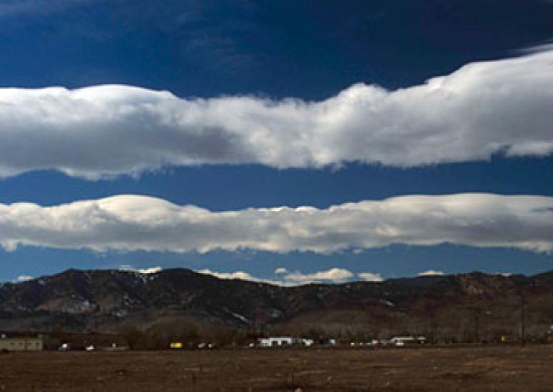
Triggering turbulence in clear air
New research points to gravity waves, which ripple unseen through the atmosphere, as the culprit in many cases of clear-air turbulence. If those waves can be forecast, the research suggests that planes in many cases could be rerouted around them.
- Weather
-
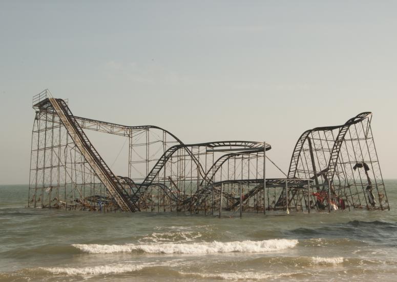
Phenomenon of the year: Sandy’s stunning surge
More than two days ahead of landfall, it was clear that Hurricane Sandy could bring higher water than New York and New Jersey had seen in decades. But for thousands of people in the area, the threat simply didn’t register. (Part 1 of 2)
- Weather
-

Dissecting Sandy’s surge
Sandy's storm surge was more than twice that of other recent tropical cyclones in the New York City area—but several other factors teamed up to bring waters to their catastrophically high level. (Part 2 of 2)
- Weather