-
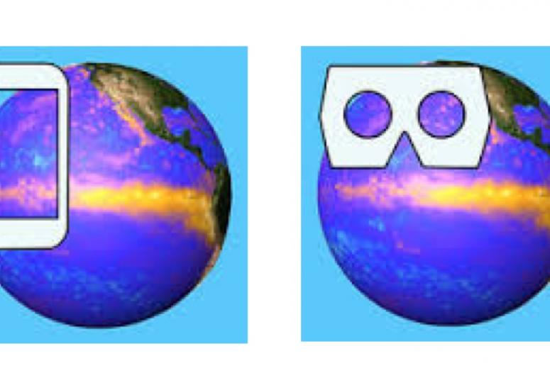
New apps set atmospheric data spinning in 3D
NCAR has created two apps: one using virtual-reality and one using augmented-reality techniques to create 3D visualizations of data sets on a globe.
- Data,
- Education + Outreach
-
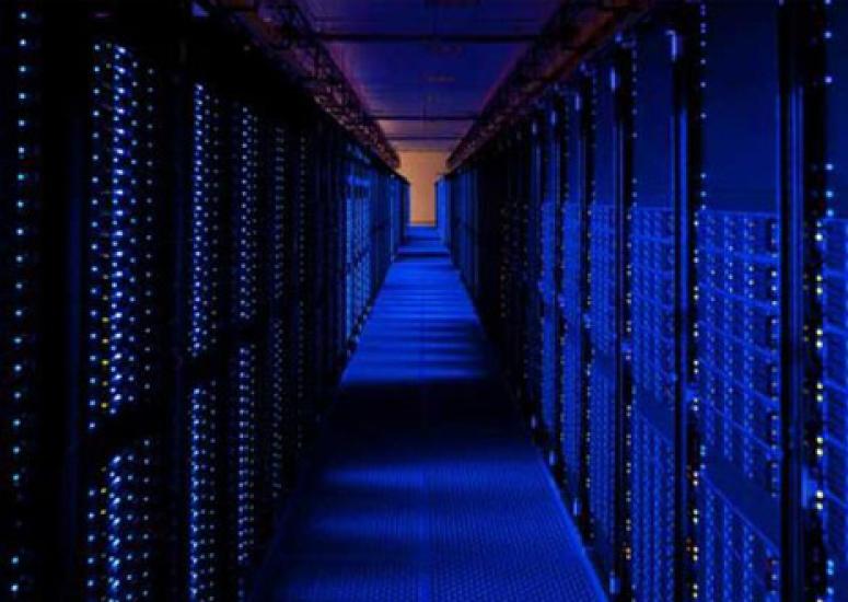
Forecast for big data: Mostly cloudy
UCAR has partnered with Amazon to provide weather data in the cloud.
- Data
-
UCAR to support EarthCube: Cyberinfrastructure will advance science
The NSF initiative will foster collaborations among geoscientists by creating a common infrastructure for researchers to collect, access, analyze, share, and visualize all forms of data and related resources.
- Data
-
Wrangling observations into models
Part science, part art, data assimilation improves simulations by bringing a range of measurements – be they sparse, dense, or irregularly scattered – into computer models.
- Data,
- Supercomputing
-
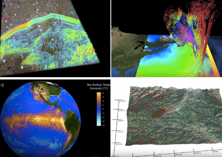
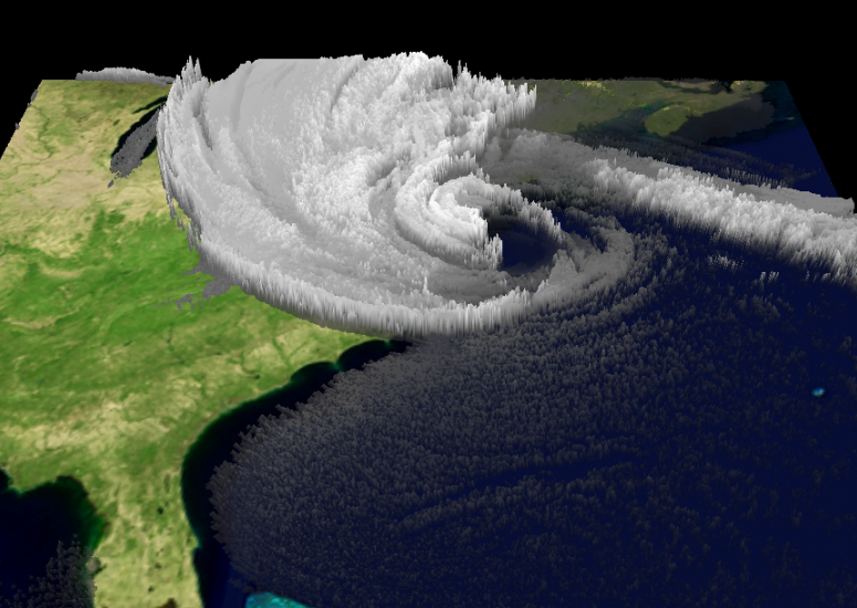
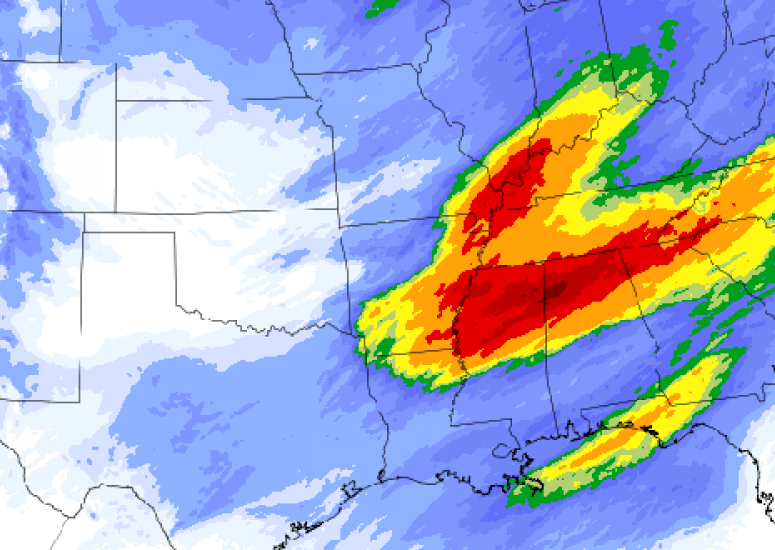
Earth Science Week 2015: NCAR visualizes Earth, air, fire & water
Software engineers and scientists collaborate to visualize research.
- Climate,
- Data,
- Weather