-
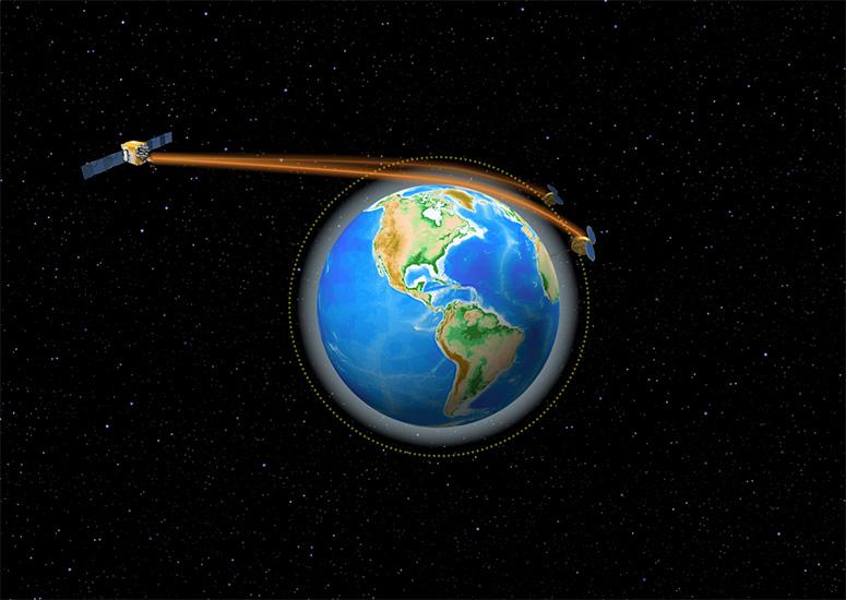
After 14 years, first COSMIC satellite mission comes to an end
The last of six tiny satellites that were rocketed into space 14 years ago – and then went on to prove that the wealth of accurate atmospheric data that can be gleaned from existing GPS signals can improve operational weather forecasts – was officially decommissioned on May 1, outliving its original planned lifespan by a dozen years.
- Data,
- Weather
-
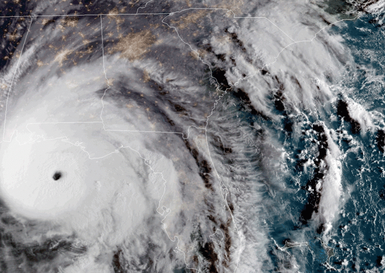
Individualists are less likely to obey hurricane evacuation orders
Residents with individualist world views are less likely to be persuaded by official predictions of risks or evacuate from an approaching hurricane, new research finds.
- Weather
-
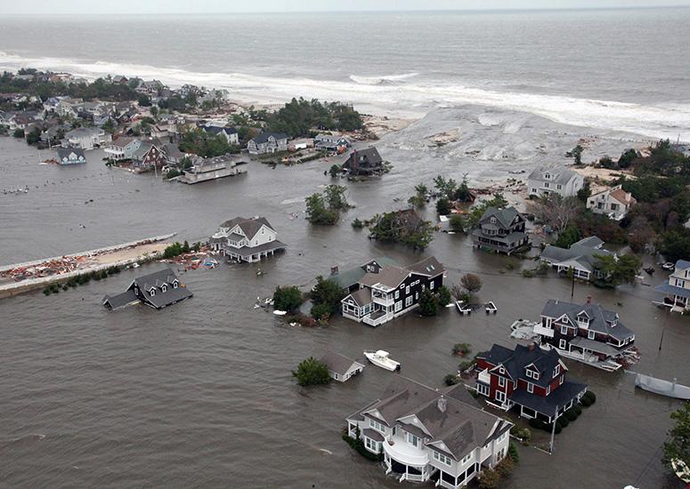
Steering a (virtual) hurricane: New model gives scientists more control
A new tool developed at NCAR can help scientists better quantify the range of possible impacts from landfalling storms.
- Weather
-
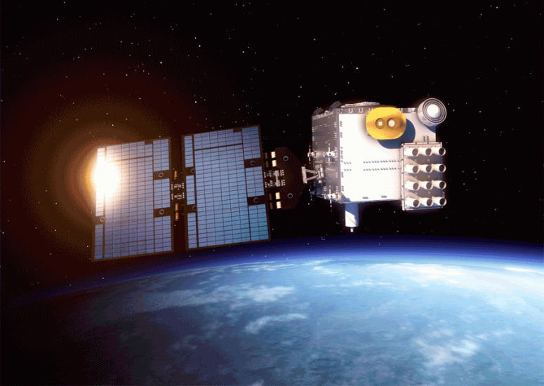
UCAR licensing agreement with AER will boost use of GNSS satellite data
UCAR, building on its commitment to improve weather forecasting, will license a satellite data processing system to Atmospheric and Environmental, Inc.
- Data,
- Weather
-
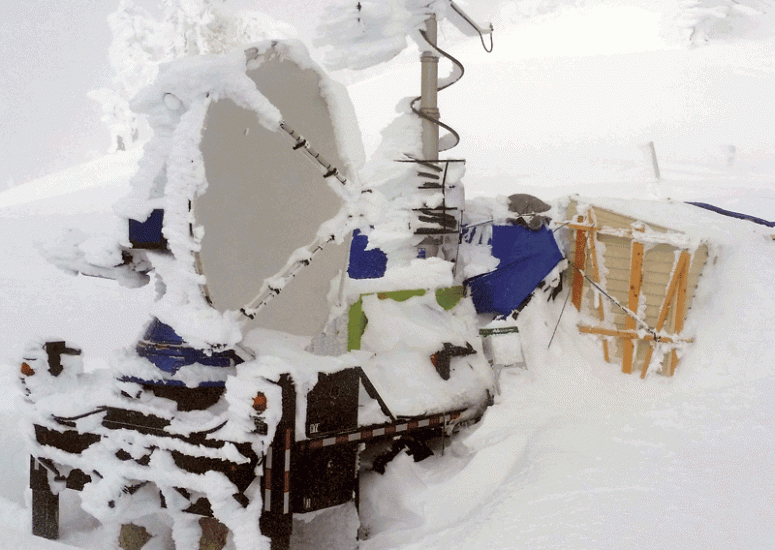
Scientists demonstrate that cloud seeding can generate snowfall
Scientists have successfully used a combination of radars and snow gauges to measure the impact of cloud seeding on snowfall. The new research addresses decades of speculation about the effectiveness of artificial methods to increase precipitation, demonstrating unambiguously that cloud seeding can boost snowfall across a wide area if the atmospheric conditions are favorable.
- Water,
- Weather