-
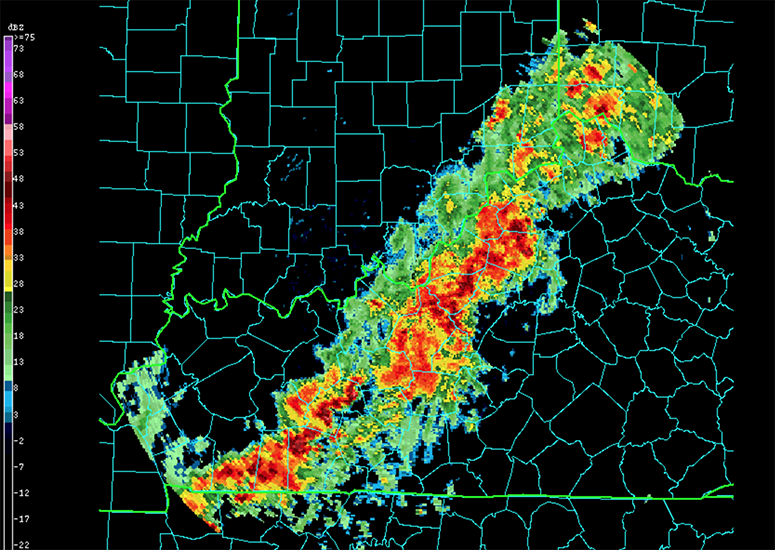
Double the data: Putting weather observations in the cloud increases access
Meteorologists and other users accessed more than twice as much U.S. weather radar data after NOAA partnered with Amazon and UCAR to make the data available in the cloud.
- Data,
- Weather
-
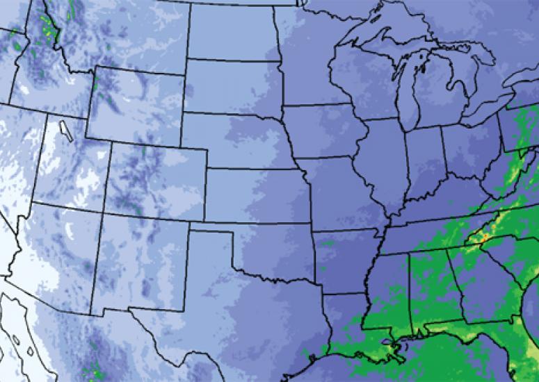
Groundbreaking data set gives unprecedented look at future weather
A rich, new data set is giving scientists an unprecedented look at the future of weather
- Climate,
- Data,
- Weather
-
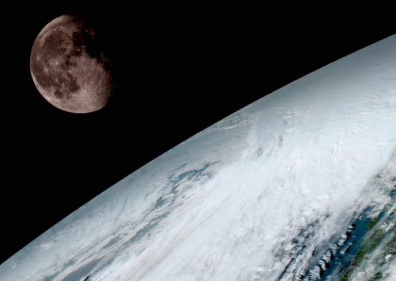
From GOES-16 to the world
UCAR and NCAR will play central roles in distributing the stunning new data from the revolutionary GOES-16 satellite.
- Data
-
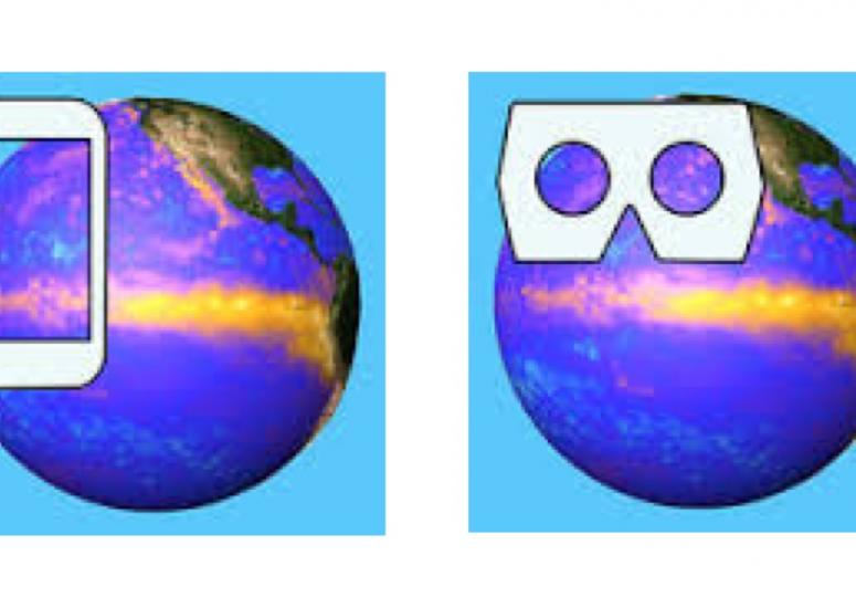
New apps set atmospheric data spinning in 3D
NCAR has created two apps: one using virtual-reality and one using augmented-reality techniques to create 3D visualizations of data sets on a globe.
- Data,
- Education + Outreach
-

Forecast for big data: Mostly cloudy
UCAR has partnered with Amazon to provide weather data in the cloud.
- Data