-

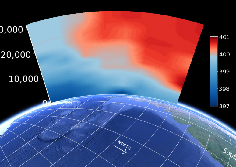
A CO2 milestone in Earth's history
The ORCAS field project records carbon dioxide levels exceeding 400 ppm over one of the remote regions of the globe.
- Climate
-

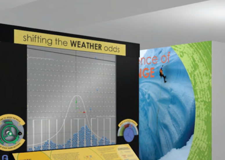
NCAR to open multimedia exhibit on climate change
The Boulder exhibits provide the public with an engaging and scientifically accurate forum to learn about climate.
- Education + Outreach
-

Antonio Busalacchi named president of University Corporation for Atmospheric Research
Dr. Antonio (Tony) J. Busalacchi was named the next president of the University Corporation for Atmospheric Research (UCAR) today, following an extensive international search.
-

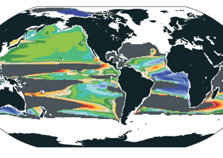
Widespread loss of ocean oxygen to become noticeable in 2030s
A reduction in the amount of oxygen dissolved in the oceans due to climate change should be evident across large parts of the ocean between 2030 and 2040.
- Climate
-

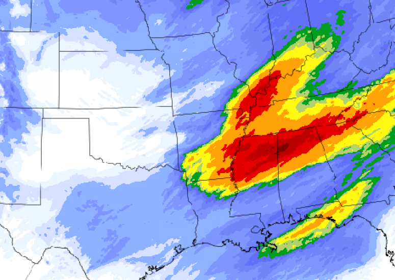
Wrangling observations into models
Part science, part art, data assimilation improves simulations by bringing a range of measurements – be they sparse, dense, or irregularly scattered – into computer models.
- Data,
- Supercomputing
