-

Days of our lives are getting longer
Melting ice sheets and glaciers are slightly slowing Earth's rotation.
- Climate
-

Future summers could regularly be hotter than the hottest on record
In 50 years, summers across most of the globe could regularly be hotter than any summer experienced so far by people alive today. Reducing carbon emissions could cut the risk.
- Climate
-
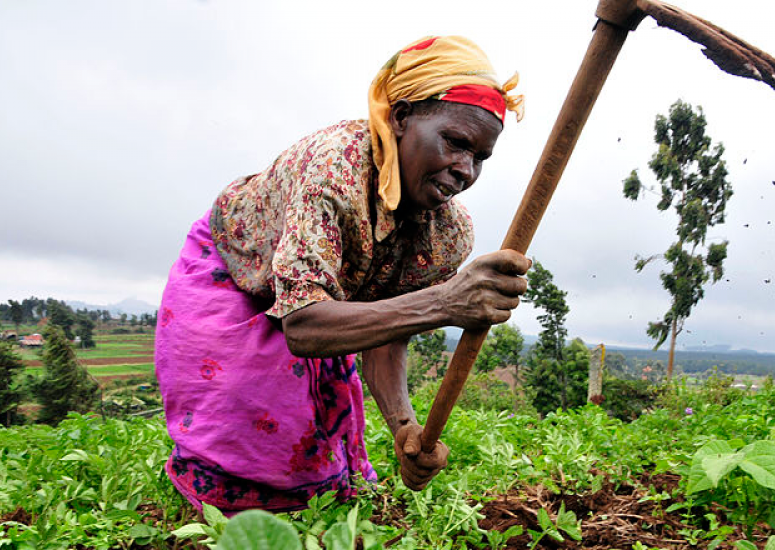
3D-printed weather stations fill gaps in developing world
Scientists have successfully installed the first wave of low-cost weather stations in Zambia with 3D-printed parts.
-

Forecast for big data: Mostly cloudy
UCAR has partnered with Amazon to provide weather data in the cloud.
- Data
-
UCAR to support EarthCube: Cyberinfrastructure will advance science
The NSF initiative will foster collaborations among geoscientists by creating a common infrastructure for researchers to collect, access, analyze, share, and visualize all forms of data and related resources.
- Data