-
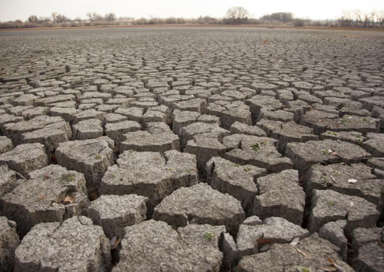
Southwest dries as wet weather systems become more rare
The weather patterns that typically bring moisture to the southwestern United States are becoming more rare, an indication that the region is sliding into a drier climate state.
- Weather
-
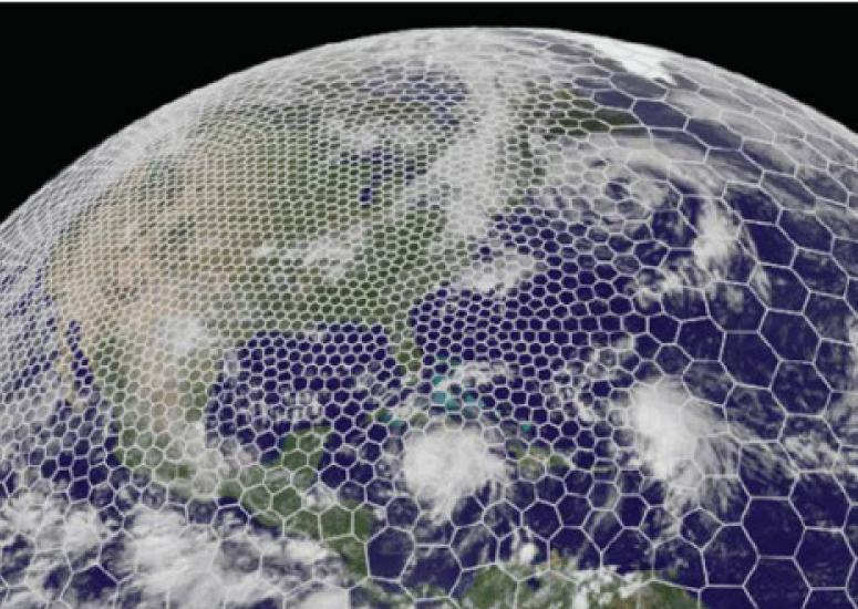
The quest to predict severe weather sooner
A global weather model developed at NCAR offers a new way of simulating the atmosphere while providing scientists with flexibility when focusing on a specific area.
- Weather
-
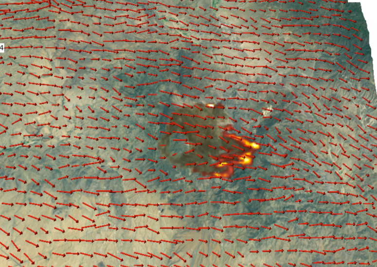
NCAR to develop wildland fire prediction system for Colorado
The agreement will lead to an advanced system for predicting wildfire behavior, including where and how quickly the blazes will spread.
- Weather
-
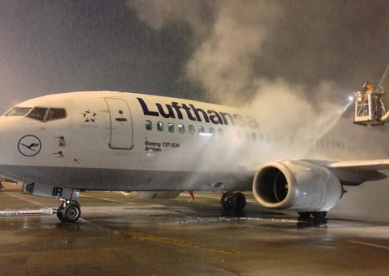
Travel safer with science
Decades of NCAR research may well smooth your journey this holiday season--and the rest of the year.
- Weather
-
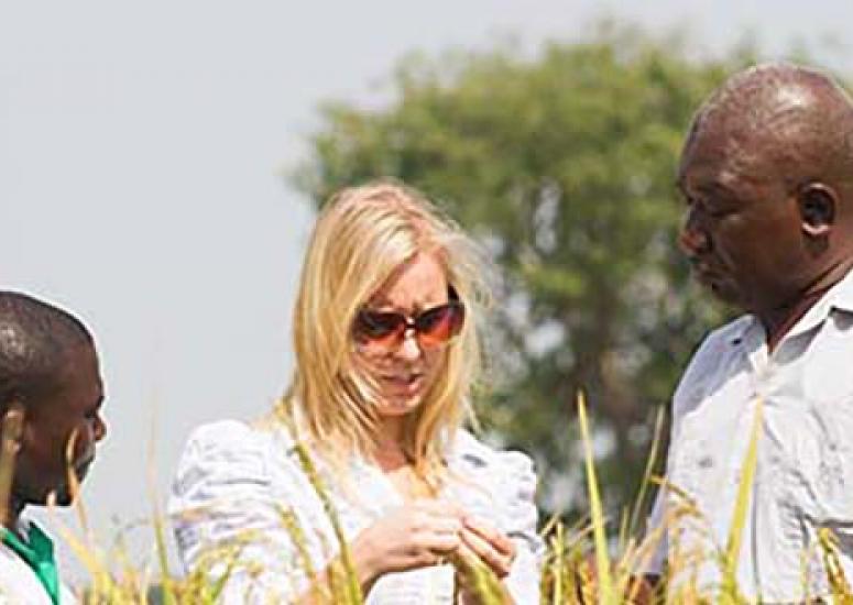
Saving farmers money in tropical West Africa
A Swedish company has adapted NCAR's WRF platform to produce rainfall forecasts and deliver them to farmers' cell phones.
- Weather