-

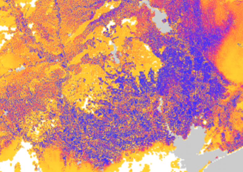
UCAR congressional briefing highlights flood, drought prediction
Experts discuss more detailed forecasts of floods, streamflow, and potential drought conditions,
- Government Relations,
- Water,
- Weather
-

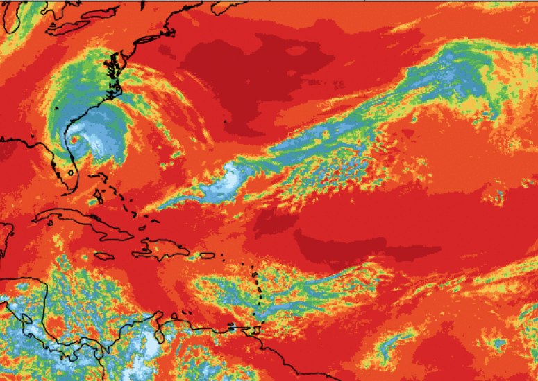
NCAR|UCAR hurricane experts available to explain storm behavior, impacts
Scientists at the National Center for Atmospheric Research (NCAR) and its managing organization, the University Corporation for Atmospheric Research (UCAR), use advanced computer models and observations to study how tropical storms behave and their impacts on society.
- Weather
-

The 2-degree goal and the question of geoengineering
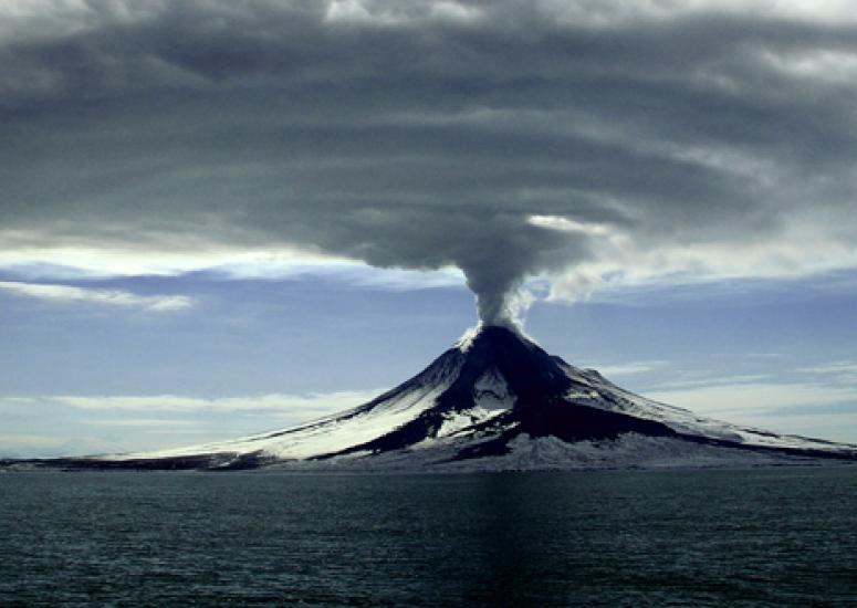
If society doesn't make steep cuts in greenhouse gas emissions in the next few decades, how much injection into the atmosphere of planet-cooling sulfates would it take to limit warming to 2 degrees Celsius above preindustrial levels?
- Climate
-

NSF/NCAR research plane assisting with U.S. hurricane forecasts
The advanced Gulfstream-V research aircraft will take critical observations of powerful storms
- Weather
-

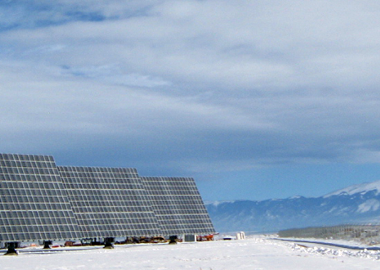
Solar energy gets boost from new forecasting system
NCAR and its collaborators have successfully developed cutting-edge forecasts to make solar energy more effective.
- Weather
