-
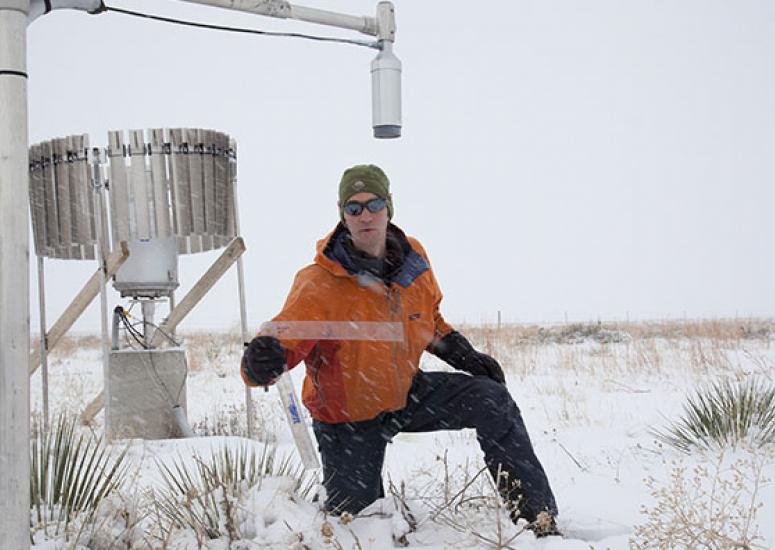
Snowfall, inch by inch
If predicting snow is a tough business, measuring it is no piece of cake either.
- Weather
-
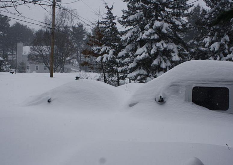
Predicting the snows that matter most
A major winter storm is threatening the Washington, D.C., area this week, on the heels of record-setting snowfalls and blizzard conditions in several parts of the United States last month. Are these onslaughts catching people off guard?
- Weather
-
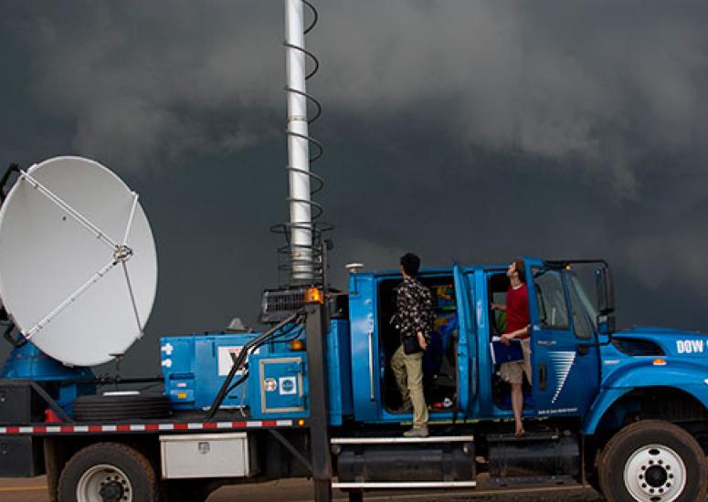
Getting the most from research radar
They’ve been carried by truck into supercell thunderstorms, flown on aircraft into hurricanes, and sliced and diced the atmosphere in myriad ways. Where are research radars headed next, and where will they take science and society?
- Weather
-
Proper alignment may be key to hurricanes
As a step toward meeting the goal of providing earlier warnings, NCAR scientists and their colleagues are examining what enables poorly organized clusters of thunderstorms to develop into tropical storms and hurricanes.
- Weather
-
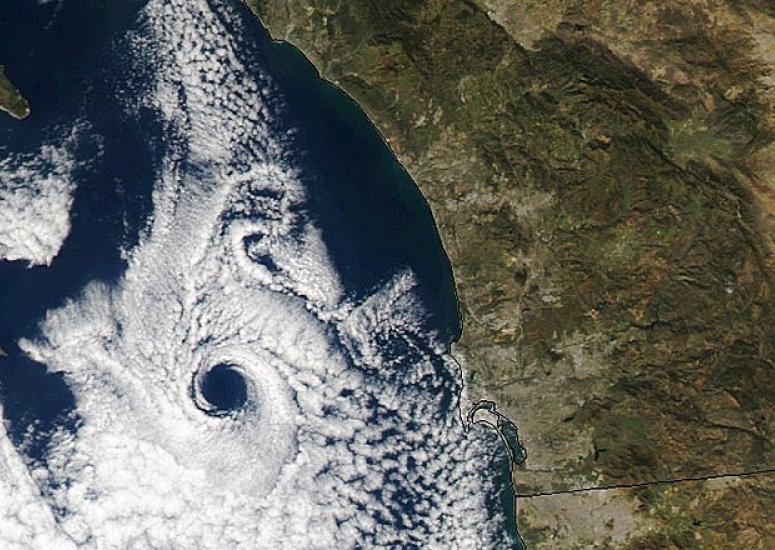
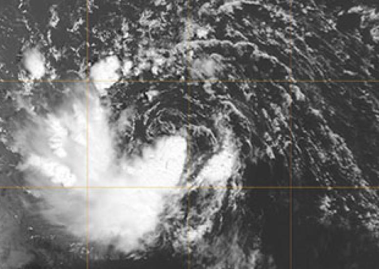
The eyes of winter
Satellite images have revealed at least three dramatic eye-like features not far off the U.S. Atlantic and Pacific coasts over the last several weeks. While these can look startlingly like the eyes of hurricanes, they’re not quite the same thing.
- Weather