-
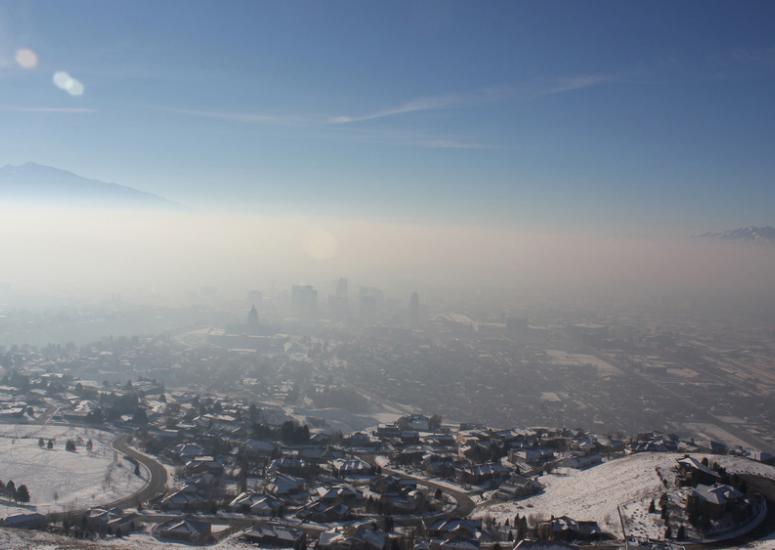
When a good air mass goes bad
Much of the United States has felt winter’s bite this week, with fresh but frigid cold to the east and a weeks-long spell of stagnant, polluted chill to the west.
- Air Quality,
- Weather
-
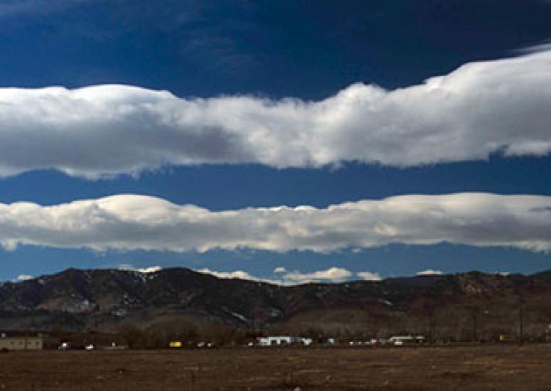
Triggering turbulence in clear air
New research points to gravity waves, which ripple unseen through the atmosphere, as the culprit in many cases of clear-air turbulence. If those waves can be forecast, the research suggests that planes in many cases could be rerouted around them.
- Weather
-
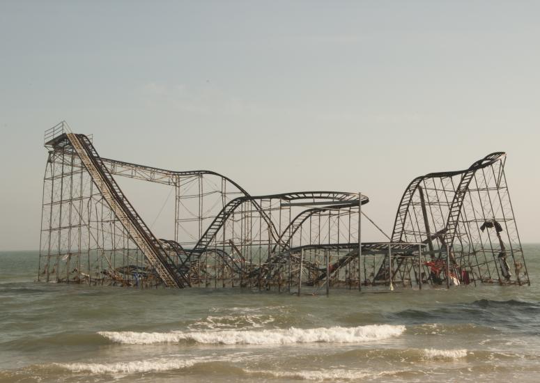
Phenomenon of the year: Sandy’s stunning surge
More than two days ahead of landfall, it was clear that Hurricane Sandy could bring higher water than New York and New Jersey had seen in decades. But for thousands of people in the area, the threat simply didn’t register. (Part 1 of 2)
- Weather
-

Dissecting Sandy’s surge
Sandy's storm surge was more than twice that of other recent tropical cyclones in the New York City area—but several other factors teamed up to bring waters to their catastrophically high level. (Part 2 of 2)
- Weather
-
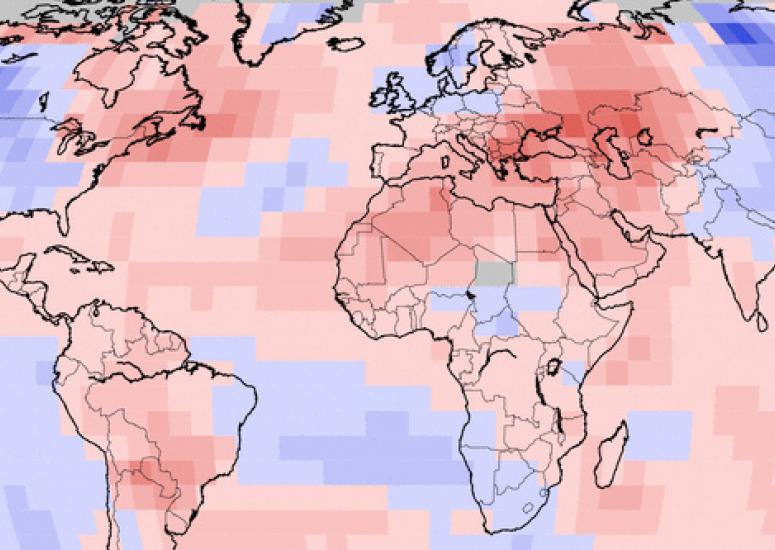
The weather year in review: a sneak preview
Though we’re still more than two weeks from the end of 2012, it’s not too soon to get a sense of how the year will go down in meteorological annals. Some of the signals from January to November are so strong that December won’t change the outcome.
- Climate,
- Weather