-
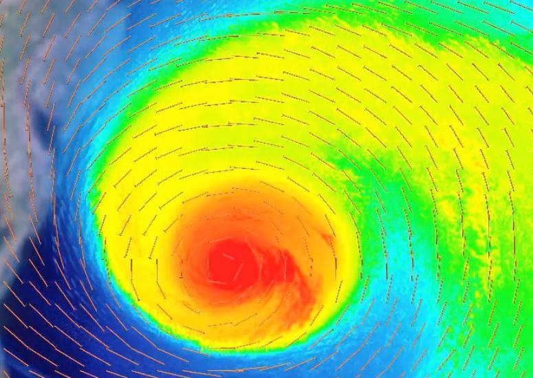
New views of Sandy
Though Hurricane Sandy struck almost a year ago, the fearsome cyclone lives on within the circuits of supercomputers that are replicating its unusual evolution and track.
- Weather
-
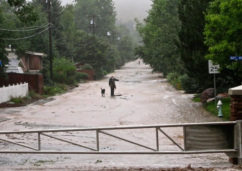
Inside the Colorado deluge
Four days of rainfall across Colorado’s Front Range produced massive flooding that’s marooned thousands, inundated key roads, and damaged countless homes and businesses. Just how rare was this event?
- Weather
-
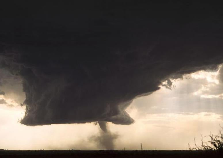
Long-range tornado prediction: Is it feasible?
Just as forecasters now peg the odds of a busy Atlantic hurricane season months in advance, we might soon have outlooks that assess the risk of an active tornado season weeks or even months ahead of time.
- Weather
-

Major field campaign targets improvement in thunderstorm prediction
To better predict where thunderstorms will rip across the central United States this spring, researchers are teaming a high-flying aircraft with fine-grained computer simulations.
- Weather
-
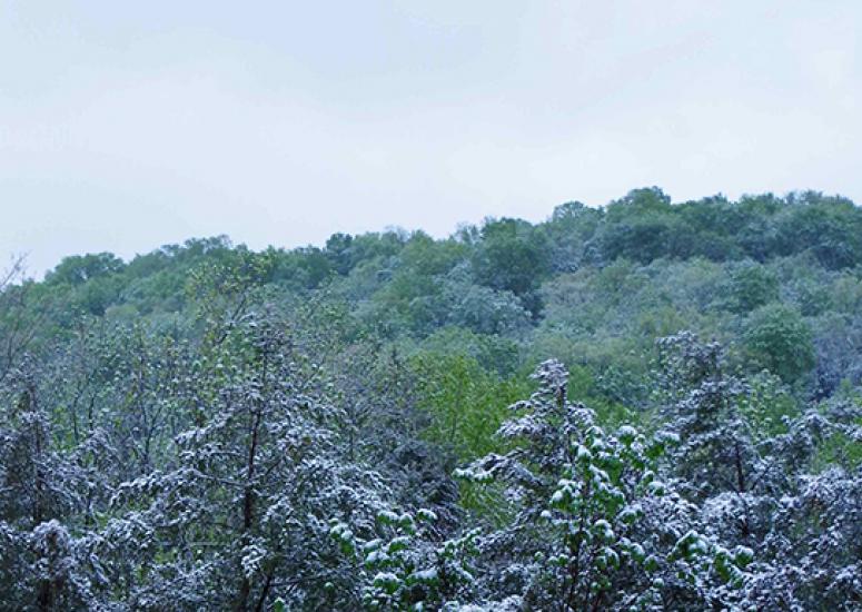
Putting this spring’s cold in context
The last month has seen a trail of smashed records across the central United States, as pulse after pulse of cold air careened down the Great Plains. How does this fit into the bigger picture of a warming U.S. climate?
- Climate,
- Weather