-

Scientists nearing forecasts of long-lived wildfires
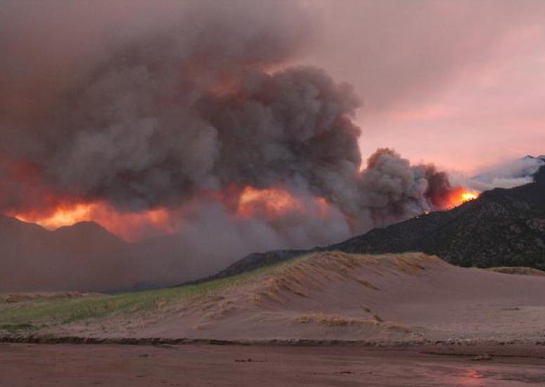
Using new satellite data, scientists have developed a technique that may produce continually updated, 24-hour predictions of wildfire growth throughout the lifetime of long-lived blazes.
- Weather
-

Extending the life of field projects
NCAR is helping to assure that atmospheric field campaigns will pay off for years to come by maintaining one of the world’s largest archives of data from observational studies.
- Data
-

Rising temperatures challenge Salt Lake City's water supply
Every 1 degree Fahrenheit of future warming will mean a significant reduction in the annual flow of streams that provide water to the city.
- Climate
-

Geoengineering the climate could reduce vital rains
Shading the planet would produce drop in seasonal rains over many regions, new research finds.
- Climate
-

New research may enable longer-term forecasts of U.S. heat waves
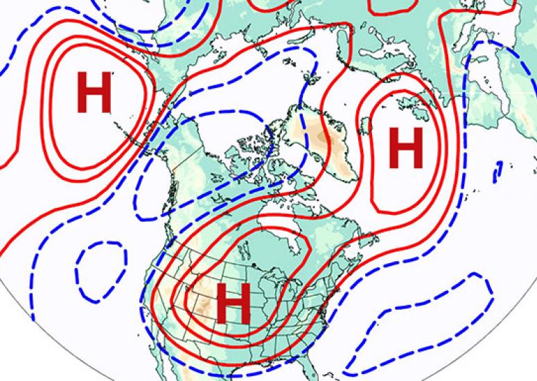
Scientists find that an atmospheric pattern can foreshadow the emergence of summertime heat waves in the United States more than two weeks in advance.
- Weather
